Login

Забыл пароль?

Cookies have to be accepted!
Your browser's cookie functionality is disabled. Please enable this functionality.

Not a member yet?

Register now
Login

Available for registred users only

Log in to use this feature.

Забыл пароль?

Cookies have to be accepted!
Your browser's cookie functionality is disabled. Please enable this functionality.

Not a member yet?

Register now
Filter
Категории
Advanced filters
  • Длина (км)
  • Высотомер
Сохранить фильтр Reset filter

TrackRank

QRCode

Technical data

Длина13,7 km Высотомер110 m Way down107 m Длительность02:15 h:m Дата12.08.2019
Оценки Author Ландшафт Веселье Кондиция Техника

Статистика

132 Виды Оценки 12 Загрузки Среднее
Rate
  • Формуляр маршрута
  • Дорога
  • Загрузки
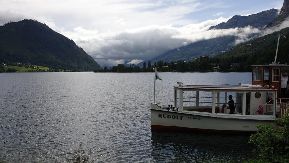
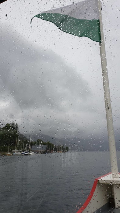
Eigentlich war die Tour als Runde um den See geplant. Wegen des schlechten Wetters sind wir dann aber von der Ortschaft Grundlsee mit dem Boot zurückgefahren.

Further information at

https://www.grundlsee.at/aktiv.html

Галерея маршрутов

Карта маршрута и высотный профиль

  • Open Street Map
  • Google
Minimum height 743 m Maximum height 814 m Детальный вид

More about the tour author

mmehle
Member since 2008

Send private message

Комментарии

Ausgangspunkt ist Gößl. Dort gibt es einen großen Parkplatz

GPS-Tracks

Trackpoints
  • GPX / Garmin Map Source (gpx) download
  • TCX / Garmin Training Center® (tcx) download
  • CRS / Garmin Training Center® (crs) download
  • Google Earth (kml) download
  • G7ToWin (g7t) download
  • TTQV (trk) download
  • Overlay (ovl) download
  • Fugawi (txt) download
  • Kompass (DAV) Track (tk) download
  • Формуляр маршрута (pdf) download
  • Original file of the author (gpx) download

More about the tour author

mmehle
Member since 2008

Send private message
Share track
Add to my favorites
Remove from my favorites
Edit tags
My score
Rate
Маршрут: Rund um den Grundlsee
Вид: Пешеходный туризм
Длина: 13,7 km
Evaluated on:
Длительность:
Day(s)
Hour(s)
Minute(s)
Оценка: Ландшафт Веселье Кондиция Техника