Login

Забыл пароль?

Cookies have to be accepted!
Your browser's cookie functionality is disabled. Please enable this functionality.

Not a member yet?

Register now
Login

Available for registred users only

Log in to use this feature.

Забыл пароль?

Cookies have to be accepted!
Your browser's cookie functionality is disabled. Please enable this functionality.

Not a member yet?

Register now
Filter
Категории
Advanced filters
  • Длина (км)
  • Высотомер
Сохранить фильтр Reset filter

TrackRank

QRCode

Technical data

Длина11,1 km Высотомер325 m Way down315 m Длительность02:30 h:m Дата16.08.2019
Оценки Author Ландшафт Веселье Кондиция Техника

Статистика

213 Виды Оценки 15 Загрузки Среднее
Rate
  • Формуляр маршрута
  • Дорога
  • Загрузки
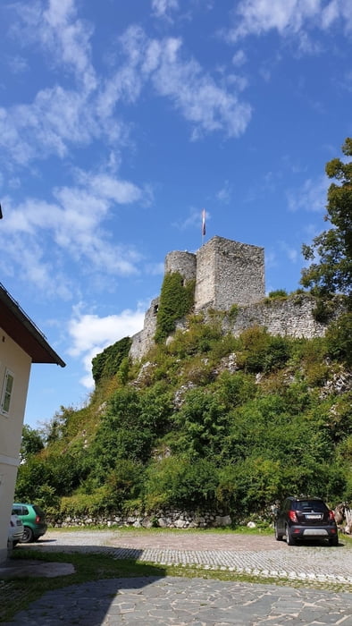
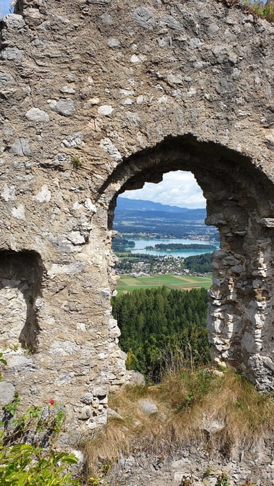
Schöner Rundwanderweg zur Ruine Finkenstein oberhalb des Faaker Sees.

Further information at

https://www.visitvillach.at/de/burgarena-finkenstein.html

Галерея маршрутов

Карта маршрута и высотный профиль

  • Open Street Map
  • Google
Minimum height 588 m Maximum height 861 m Детальный вид

More about the tour author

mmehle
Member since 2008

Send private message

Комментарии

Ab Ortschaft Faak am Faaker See

GPS-Tracks

Trackpoints
  • GPX / Garmin Map Source (gpx) download
  • TCX / Garmin Training Center® (tcx) download
  • CRS / Garmin Training Center® (crs) download
  • Google Earth (kml) download
  • G7ToWin (g7t) download
  • TTQV (trk) download
  • Overlay (ovl) download
  • Fugawi (txt) download
  • Kompass (DAV) Track (tk) download
  • Формуляр маршрута (pdf) download
  • Original file of the author (gpx) download

More about the tour author

mmehle
Member since 2008

Send private message
Share track
Add to my favorites
Remove from my favorites
Edit tags
My score
Rate
Маршрут: Altfinkenstein über dem Faaker See, Rundwanderung
Вид: Пешеходный туризм
Длина: 11,1 km
Evaluated on:
Длительность:
Day(s)
Hour(s)
Minute(s)
Оценка: Ландшафт Веселье Кондиция Техника