
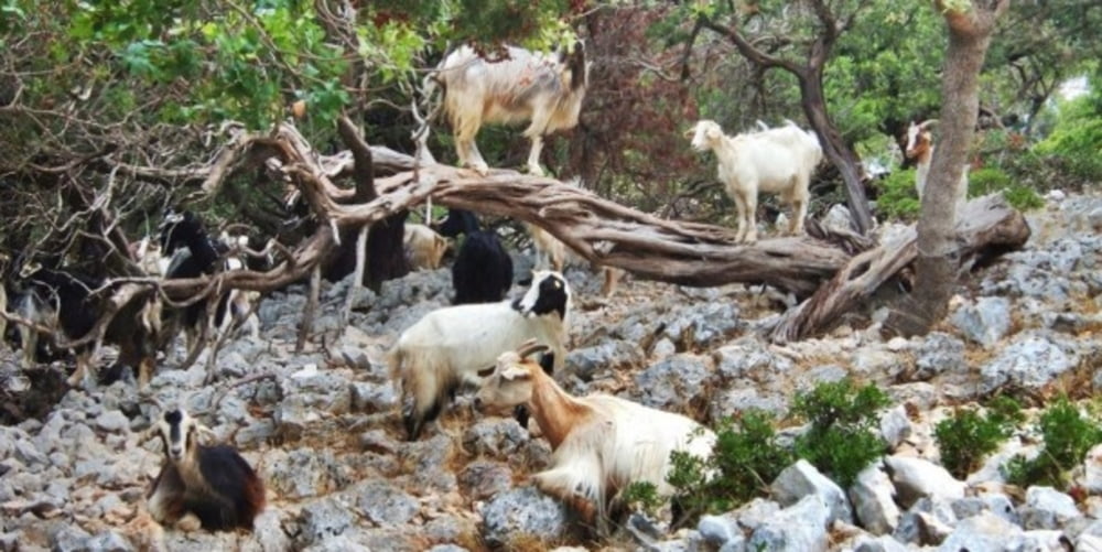

Lasciato l'abitato di Pomonte si sale in stile enduro per asfalto fino a Marciana. Dopo breve discesa si oltrepassa la FONTE DI NAPOLEONE rinomata per la qualità della sua acqua. Si oltrepassa Poggio e si sale verso il monte Perone per la famosa salita Tagliagambe, impegnativa sopratutto per chi la fa in bici da strada. Oltrepassata la zona delle panche in cima al monte Perone si scende incontrando una nuova fonte di acqua. Subito dietro ad essa parte il sentiero numero sette che inizia in modo spettacolare percorrendo uno dei piu bei single track dell'isola d'elba denominato top spin. Si risale leggermente fino a prendere sulla sinistra il sentiero numerato 107 che per tecnicamente impegnativa discesa scende verso Poggio oltrepassando un recinto di capre, da cui il nome del percorso . Da qui si svolta a destra fino a prendere il bellissimo sentiero che scende sopra la spiaggia di cavoli. Immancabili le foto e il bagno, Da qui su facile asfalto si rientra a Pomonte,
Further information at
http://www.islepark.it/Галерея маршрутов


Карта маршрута и высотный профиль
Minimum height 12 m
Maximum height 624 m
More about the tour author

|
mikyross |
Комментарии

italia toscana livorno isola d'eba marciana pomonte via del passatoio 100
GPS-Tracks
Trackpoints-
GPX / Garmin Map Source (gpx) download
-
TCX / Garmin Training Center® (tcx) download
-
CRS / Garmin Training Center® (crs) download
-
Google Earth (kml) download
-
G7ToWin (g7t) download
-
TTQV (trk) download
-
Overlay (ovl) download
-
Fugawi (txt) download
-
Kompass (DAV) Track (tk) download
-
Формуляр маршрута (pdf) download
-
Original file of the author (gpx) download
More about the tour author
|
|
mikyross |
Add to my favorites
Remove from my favorites
Edit tags
Open track
My score
Rate