Login

Забыл пароль?

Cookies have to be accepted!
Your browser's cookie functionality is disabled. Please enable this functionality.

Not a member yet?

Register now
Login

Available for registred users only

Log in to use this feature.

Забыл пароль?

Cookies have to be accepted!
Your browser's cookie functionality is disabled. Please enable this functionality.

Not a member yet?

Register now
Filter
Категории
Advanced filters
  • Длина (км)
  • Высотомер
Сохранить фильтр Reset filter

TrackRank

QRCode

Technical data

Длина5,1 km Высотомер313 m Way down35 m Длительность02:00 h:m Дата15.06.2008
Оценки Author Ландшафт Веселье Кондиция Техника

Статистика

1049 Виды Оценки 198 Загрузки Среднее
Rate
  • Формуляр маршрута
  • Дорога
  • Загрузки
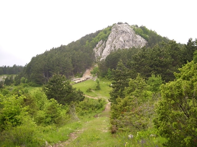
Wandertour zu Korita-Quelle im istrischen Karstgebirge Ucka.

Галерея маршрутов

Карта маршрута и высотный профиль

  • Open Street Map
  • Google
Minimum height 723 m Maximum height 1014 m Детальный вид

More about the tour author

Joern_Weber
Member since 2004

Send private message

Комментарии

Von Rejeka aus die A3 bis Lupoglav fahren und von dort über eine befestigte Landstraße nach Brdudac. Der 
Parkplatz vor dem Dorf (auch für größere Fahrzeuge geeignet)

GPS-Tracks

Trackpoints
  • GPX / Garmin Map Source (gpx) download
  • TCX / Garmin Training Center® (tcx) download
  • CRS / Garmin Training Center® (crs) download
  • Google Earth (kml) download
  • G7ToWin (g7t) download
  • TTQV (trk) download
  • Overlay (ovl) download
  • Fugawi (txt) download
  • Kompass (DAV) Track (tk) download
  • Формуляр маршрута (pdf) download
  • Original file of the author (gpx) download

More about the tour author

Joern_Weber
Member since 2004

Send private message
Share track
Add to my favorites
Remove from my favorites
Edit tags
My score
Rate
Маршрут: Korita
Вид: Пешеходный туризм
Длина: 5,1 km
Evaluated on:
Длительность:
Day(s)
Hour(s)
Minute(s)
Оценка: Ландшафт Веселье Кондиция Техника