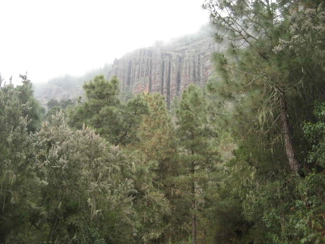
Los Organos Höhenweg im oberen Orotavatal
Галерея маршрутов
Карта маршрута и высотный профиль
Minimum height 99999 m
Maximum height -99999 m
Комментарии
GPS-Tracks
Trackpoints-
GPX / Garmin Map Source (gpx) download
-
TCX / Garmin Training Center® (tcx) download
-
CRS / Garmin Training Center® (crs) download
-
Google Earth (kml) download
-
G7ToWin (g7t) download
-
TTQV (trk) download
-
Overlay (ovl) download
-
Fugawi (txt) download
-
Kompass (DAV) Track (tk) download
-
Формуляр маршрута (pdf) download
-
Original file of the author (gpx) download
Add to my favorites
Remove from my favorites
Edit tags
Open track
My score
Rate


Teilweise gefährliche Abweichungen
Ich habe versucht den Track während meines Aufentahltes auf Teneriffa im Sommer 2008 nach zu gehen. Mußte aber feststellen, dass teilweise erhebliche und gefährliche Abweichungen vom "normalen" Weg vorhanden sind. Diese Abweichungen führen in unwegsames und sehr steiles Gelände. Ich habe darum meinen eigenen GPS-Track hochgeladen. Dieser ist garantiert sicher.
Starthöhe bei ~1200 Hm, höchster Punkt bei ~ 1600 Hm und insgesamt einiges an Auf und Ab.
Aber trotzdem lohnenswerte Wanderung, super Landschaft, geniale Aussichtpunkte von Felsnadeln am Wegesrand über das Orotavatal.