


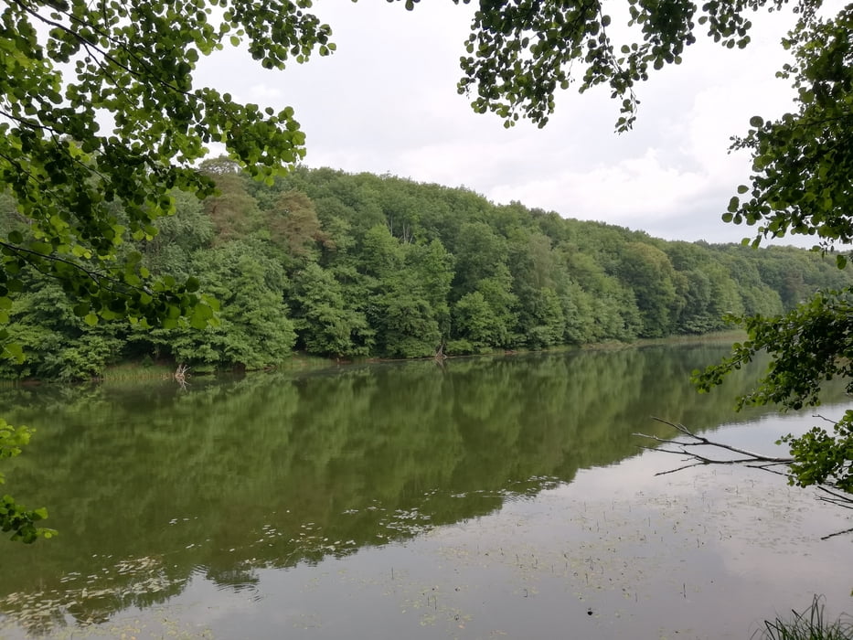
Ausgangspunkt ist der Parkplatz in Leuenberg neben dem Bolzplatz. Der Waldweg am See entlang führt am Rande über das Gelände eines Campingplatzes entlang der dortigen Badestelle mit Rastgelegenheit. Die Tore zum Gelände stehen offen. An den Seen finden sich vereinzelt Badegelegenheiten. Die Wege sind größtenteils gut begehbar, nur vereinzelt sind es Trampelpfade mit problemlos zu überwindenden umgestürzten Bäumen.
Галерея маршрутов


Карта маршрута и высотный профиль
Minimum height 67 m
Maximum height 153 m
More about the tour author

|
JaTho |
Комментарии

Fahrt nach Leuenberg/ Höhenland.
GPS-Tracks
Trackpoints-
GPX / Garmin Map Source (gpx) download
-
TCX / Garmin Training Center® (tcx) download
-
CRS / Garmin Training Center® (crs) download
-
Google Earth (kml) download
-
G7ToWin (g7t) download
-
TTQV (trk) download
-
Overlay (ovl) download
-
Fugawi (txt) download
-
Kompass (DAV) Track (tk) download
-
Формуляр маршрута (pdf) download
-
Original file of the author (gpx) download
More about the tour author
|
|
JaTho |
Add to my favorites
Remove from my favorites
Edit tags
Open track
My score
Rate