


Gatschach-Weiße Wand-Hochtratten-Alm hinterm Brunn-
Ostufer-Laka-Bodenalm-Paterzipf-Gatschach
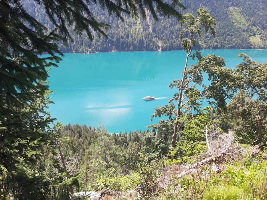
Schiebung auf die Hochtratten ca.20', auf die Laka schwere Schiebung ca. 1h20'! Sonst eine gute, allerdings ziemlich anstrengende Runde um den Weißensee. Von der Laka runter ist es gut fahrbar.
Schiebung auf die Hochtratten ca.20', auf die Laka schwere Schiebung ca. 1h20'! Sonst eine gute, allerdings ziemlich anstrengende Runde um den Weißensee. Von der Laka runter ist es gut fahrbar.
Галерея маршрутов


Карта маршрута и высотный профиль
Minimum height 912 m
Maximum height 1762 m
More about the tour author
|
|
mitter |
Комментарии

Start in Gatschach.
GPS-Tracks
Trackpoints-
GPX / Garmin Map Source (gpx) download
-
TCX / Garmin Training Center® (tcx) download
-
CRS / Garmin Training Center® (crs) download
-
Google Earth (kml) download
-
G7ToWin (g7t) download
-
TTQV (trk) download
-
Overlay (ovl) download
-
Fugawi (txt) download
-
Kompass (DAV) Track (tk) download
-
Формуляр маршрута (pdf) download
-
Original file of the author (gpx) download
More about the tour author
|
|
mitter |
Add to my favorites
Remove from my favorites
Edit tags
Open track
My score
Rate