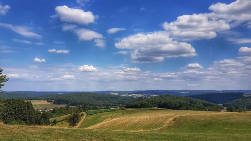
Lange nicht mehr über die Hohe Straße gefahren. Also aufs Bike und los. Zur Annelsbacher Höhe diesmal die steile Auffahrt gewählt. Selbst Schuld. Dann über die Hohe Straße bis Böllstein. Von hier geht es dann rüber nach Affhöllerbach und in das Gersprenztal. Nach einer Ortsbesichtigung von Brensbach dann hoch zum Einhardsbrunnen und weiter hoch zum Hermesberg. Von hier über Hummetroth wieder nach Höchst zurück. #noebike
Галерея маршрутов
Карта маршрута и высотный профиль
Minimum height 155 m
Maximum height 387 m
Комментарии

GPS-Tracks
Trackpoints-
GPX / Garmin Map Source (gpx) download
-
TCX / Garmin Training Center® (tcx) download
-
CRS / Garmin Training Center® (crs) download
-
Google Earth (kml) download
-
G7ToWin (g7t) download
-
TTQV (trk) download
-
Overlay (ovl) download
-
Fugawi (txt) download
-
Kompass (DAV) Track (tk) download
-
Формуляр маршрута (pdf) download
-
Original file of the author (gpx) download
Add to my favorites
Remove from my favorites
Edit tags
Open track
My score
Rate


