Login

Забыл пароль?

Cookies have to be accepted!
Your browser's cookie functionality is disabled. Please enable this functionality.

Not a member yet?

Register now
Login

Available for registred users only

Log in to use this feature.

Забыл пароль?

Cookies have to be accepted!
Your browser's cookie functionality is disabled. Please enable this functionality.

Not a member yet?

Register now
Filter
Категории
Advanced filters
  • Длина (км)
  • Высотомер
Сохранить фильтр Reset filter

TrackRank

QRCode

Technical data

Длина9,6 km Высотомер329 m Way down187 m Длительность03:30 h:m Дата29.07.2020
Оценки Author Ландшафт Веселье Кондиция Техника

Статистика

113 Виды Оценки 5 Загрузки Среднее
Rate
  • Формуляр маршрута
  • Дорога
  • Загрузки
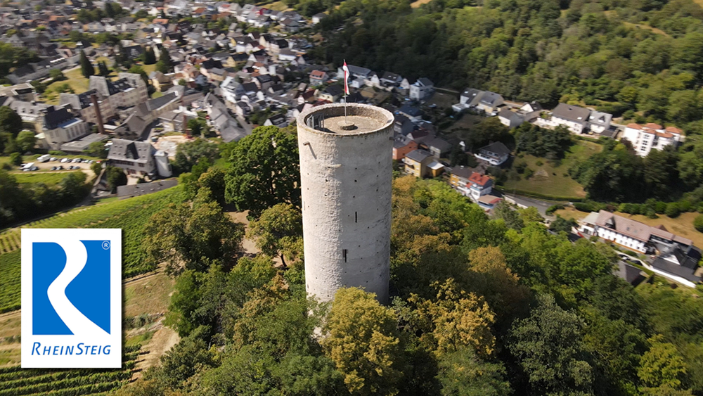
Die Vorletzte Etappe ist eine relative kurze Etappe. Auf dieser Tour macht der Rheinsteig seinen weitesten Schlenker in den vorderen Taunus. Anfangs noch durch Weinberge, führt er später waldreich nach Schlangenbad. Somit halten sich die Sehenswürdigkeiten und die Abwechslung in Grenzen

Галерея маршрутов

Карта маршрута и высотный профиль

  • Open Street Map
  • Google
Minimum height 144 m Maximum height 337 m Детальный вид

More about the tour author

schleidy
Member since 2013

Send private message

Комментарии

GPS-Tracks

Trackpoints
  • GPX / Garmin Map Source (gpx) download
  • TCX / Garmin Training Center® (tcx) download
  • CRS / Garmin Training Center® (crs) download
  • Google Earth (kml) download
  • G7ToWin (g7t) download
  • TTQV (trk) download
  • Overlay (ovl) download
  • Fugawi (txt) download
  • Kompass (DAV) Track (tk) download
  • Формуляр маршрута (pdf) download
  • Original file of the author (gpx) download

More about the tour author

schleidy
Member since 2013

Send private message
Share track
Add to my favorites
Remove from my favorites
Edit tags
My score
Rate
Маршрут: 20. Etappe, Rheinsteig: Kiedrich nach Schlangenbad
Вид: Пешеходный туризм
Длина: 9,6 km
Evaluated on:
Длительность:
Day(s)
Hour(s)
Minute(s)
Оценка: Ландшафт Веселье Кондиция Техника