Login

Забыл пароль?

Cookies have to be accepted!
Your browser's cookie functionality is disabled. Please enable this functionality.

Not a member yet?

Register now
Login

Available for registred users only

Log in to use this feature.

Забыл пароль?

Cookies have to be accepted!
Your browser's cookie functionality is disabled. Please enable this functionality.

Not a member yet?

Register now
Filter
Категории
Advanced filters
  • Длина (км)
  • Высотомер
Сохранить фильтр Reset filter

TrackRank

QRCode

Technical data

Длина14,5 km Высотомер617 m Way down597 m Длительность04:00 h:m Дата13.10.2020
Оценки Author Ландшафт Веселье Кондиция Техника

Статистика

121 Виды Оценки 3 Загрузки Среднее
Rate
  • Формуляр маршрута
  • Дорога
  • Загрузки
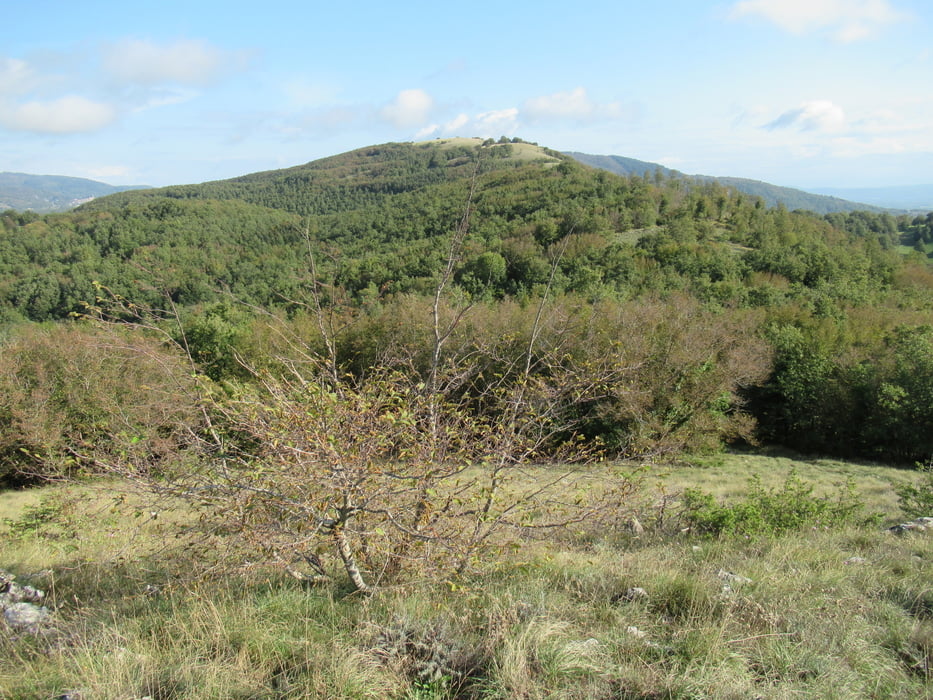
einfache Tour mit zwei Gipfel und Blick bin ans Meer. Nicht schwer, im zweiten Teil geht es etwas steil durch den Wald bergauf

Галерея маршрутов

Карта маршрута и высотный профиль

  • Open Street Map
  • Google
Minimum height 583 m Maximum height 912 m Детальный вид

More about the tour author

tazzo
Member since 2009

Send private message

Комментарии

Parken kann man am Dorfeingang. Start ist am Platz unten neben einem roten Briefkasten

GPS-Tracks

Trackpoints
  • GPX / Garmin Map Source (gpx) download
  • TCX / Garmin Training Center® (tcx) download
  • CRS / Garmin Training Center® (crs) download
  • Google Earth (kml) download
  • G7ToWin (g7t) download
  • TTQV (trk) download
  • Overlay (ovl) download
  • Fugawi (txt) download
  • Kompass (DAV) Track (tk) download
  • Формуляр маршрута (pdf) download
  • Original file of the author (gpx) download

More about the tour author

tazzo
Member since 2009

Send private message
Share track
Add to my favorites
Remove from my favorites
Edit tags
My score
Rate
Маршрут: Prata
Вид: Пешеходный туризм
Длина: 14,5 km
Evaluated on:
Длительность:
Day(s)
Hour(s)
Minute(s)
Оценка: Ландшафт Веселье Кондиция Техника