Login

Забыл пароль?

Cookies have to be accepted!
Your browser's cookie functionality is disabled. Please enable this functionality.

Not a member yet?

Register now
Login

Available for registred users only

Log in to use this feature.

Забыл пароль?

Cookies have to be accepted!
Your browser's cookie functionality is disabled. Please enable this functionality.

Not a member yet?

Register now
Filter
Категории
Advanced filters
  • Длина (км)
  • Высотомер
Сохранить фильтр Reset filter

TrackRank

QRCode

Technical data

Длина21,2 km Высотомер453 m Way down459 m Длительность03:00 h:m Дата15.09.2020
Оценки Author Ландшафт Веселье Кондиция Техника

Статистика

351 Виды Оценки 66 Загрузки Среднее
Rate
  • Формуляр маршрута
  • Дорога
  • Загрузки
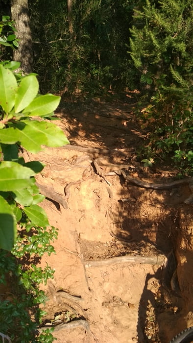
Eine weitere Variante der Trails auf Punta Ala. Größtenteils gut fahrbar. Leider ist ein Stück drin, das ziemlich durch's Dickicht geht. Da musste ich absteigen, nicht weil es zu steil war oder zu unwegig, das Gestrüp war einfach zu dicht. Das sind aber nur 500m.

Галерея маршрутов

Карта маршрута и высотный профиль

  • Open Street Map
  • Google
Minimum height 11 m Maximum height 215 m Детальный вид

More about the tour author

buehlems
Member since 2008

Send private message

Комментарии

GPS-Tracks

Trackpoints
  • GPX / Garmin Map Source (gpx) download
  • TCX / Garmin Training Center® (tcx) download
  • CRS / Garmin Training Center® (crs) download
  • Google Earth (kml) download
  • G7ToWin (g7t) download
  • TTQV (trk) download
  • Overlay (ovl) download
  • Fugawi (txt) download
  • Kompass (DAV) Track (tk) download
  • Формуляр маршрута (pdf) download
  • Original file of the author (gpx) download

More about the tour author

buehlems
Member since 2008

Send private message
Share track
Add to my favorites
Remove from my favorites
Edit tags
My score
Rate
Маршрут: Punta Ala Trails
Вид: Горный велосипед
Длина: 21,2 km
Evaluated on:
Длительность:
Day(s)
Hour(s)
Minute(s)
Оценка: Ландшафт Веселье Кондиция Техника