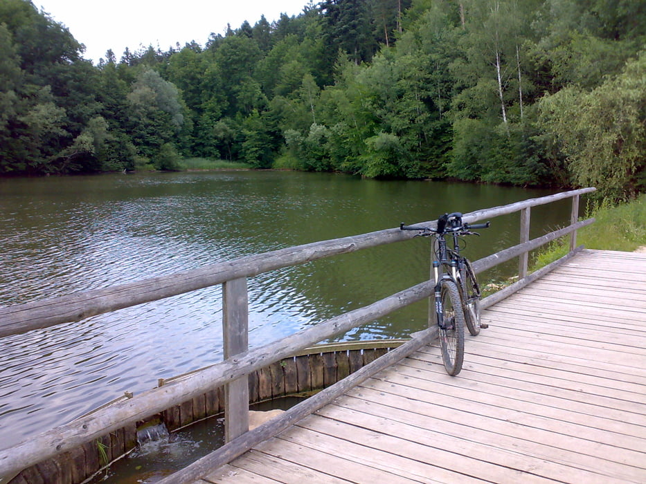
Noch eine kleine Ausflugsrunde.
Diesmal über den Herrenbachstausee ins Nassachtal.
Am Anfang kleine Singeltrails. Steile Abfahrt zum See und im Nassachtal eine mischung zwischen verwachsenem Weg und breitere Pisten.
Галерея маршрутов
Карта маршрута и высотный профиль
Minimum height 300 m
Maximum height 511 m
Комментарии

Parkplat Faurndau beim magenta T.
GPS-Tracks
Trackpoints-
GPX / Garmin Map Source (gpx) download
-
TCX / Garmin Training Center® (tcx) download
-
CRS / Garmin Training Center® (crs) download
-
Google Earth (kml) download
-
G7ToWin (g7t) download
-
TTQV (trk) download
-
Overlay (ovl) download
-
Fugawi (txt) download
-
Kompass (DAV) Track (tk) download
-
Формуляр маршрута (pdf) download
-
Original file of the author (gpx) download
Add to my favorites
Remove from my favorites
Edit tags
Open track
My score
Rate


