Login

Забыл пароль?

Cookies have to be accepted!
Your browser's cookie functionality is disabled. Please enable this functionality.

Not a member yet?

Register now
Login

Available for registred users only

Log in to use this feature.

Забыл пароль?

Cookies have to be accepted!
Your browser's cookie functionality is disabled. Please enable this functionality.

Not a member yet?

Register now
Filter
Категории
Advanced filters
  • Длина (км)
  • Высотомер
Сохранить фильтр Reset filter

TrackRank

QRCode

Technical data

Длина107,6 km Высотомер303 m Way down311 m Длительность04:22 h:m Дата12.11.2020
Оценки Author Ландшафт Веселье Кондиция Техника

Статистика

123 Виды Оценки 11 Загрузки Среднее
Rate
  • Формуляр маршрута
  • Дорога
  • Загрузки
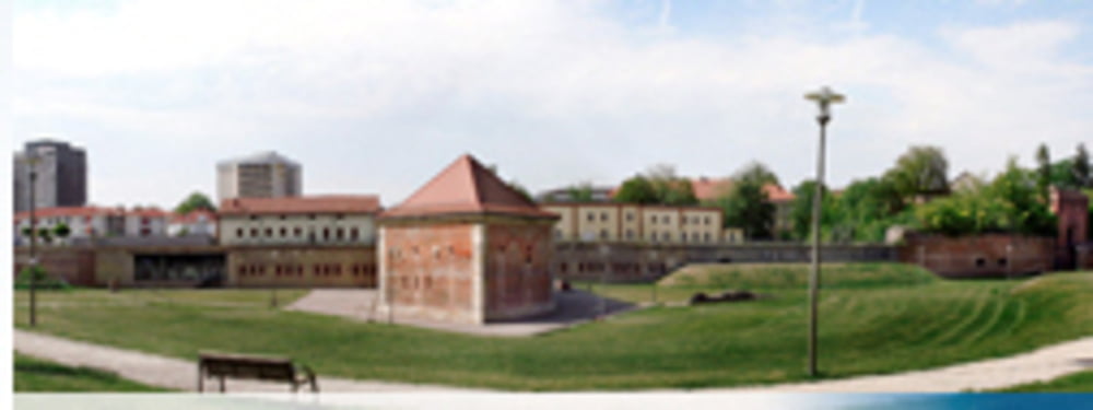
Schöne Tour am Rhein entlang. Tolle Fahrradwege!

Further information at

https://www.germersheim.eu/stadt_germersheim/

Карта маршрута и высотный профиль

  • Open Street Map
  • Google
Minimum height 97 m Maximum height 159 m Детальный вид

More about the tour author

Herb2202
Member since 2020

Send private message

Комментарии

Kandel -> Germersheim

GPS-Tracks

Trackpoints
  • GPX / Garmin Map Source (gpx) download
  • TCX / Garmin Training Center® (tcx) download
  • CRS / Garmin Training Center® (crs) download
  • Google Earth (kml) download
  • G7ToWin (g7t) download
  • TTQV (trk) download
  • Overlay (ovl) download
  • Fugawi (txt) download
  • Kompass (DAV) Track (tk) download
  • Формуляр маршрута (pdf) download
  • Original file of the author (gpx) download

More about the tour author

Herb2202
Member since 2020

Send private message
Share track
Add to my favorites
Remove from my favorites
Edit tags
My score
Rate
Маршрут: Germersheim
Вид: Гоночный велосипед
Длина: 107,6 km
Evaluated on:
Длительность:
Day(s)
Hour(s)
Minute(s)
Оценка: Ландшафт Веселье Кондиция Техника