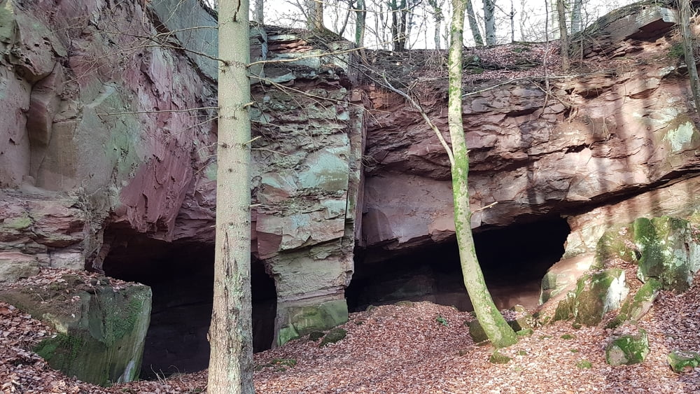
Ich habe diese Wanderung aus einer Broschüre von der Touristinformation Trier_Luxemburg entnommen und der Track von ihrer Internetseite heruntergeladen. Da ich für die gesamte Tour nicht genug Zeit hatte, startete ich an der K19 und bin nicht wie unter
https://www.lux-trier.info/a-wanderweg-welschbillig-hofweiler-eine-spur-erholsamer
beschrieben, in Hofweiler gestartet. Ich wollte vor allem die Höhle des alten Steinbruch sehen. Die Kinder waren begeistert.
Further information at
https://www.lux-trier.info/a-wanderweg-welschbillig-hofweiler-eine-spur-erholsamerКарта маршрута и высотный профиль
Minimum height 284 m
Maximum height 355 m
Комментарии

Feldweg an der K19 (N49 51.617 E6 36.998)
GPS-Tracks
Trackpoints-
GPX / Garmin Map Source (gpx) download
-
TCX / Garmin Training Center® (tcx) download
-
CRS / Garmin Training Center® (crs) download
-
Google Earth (kml) download
-
G7ToWin (g7t) download
-
TTQV (trk) download
-
Overlay (ovl) download
-
Fugawi (txt) download
-
Kompass (DAV) Track (tk) download
-
Формуляр маршрута (pdf) download
-
Original file of the author (gpx) download
Add to my favorites
Remove from my favorites
Edit tags
Open track
My score
Rate


