

Prambachkrichen - Baumgarten - Lanstögen - Obereschlbach - Götzenberg - Birihub - Reith - Bergern - Freiling - Königsdorf - St.Agatha
- Parz: hier geht der Trail sehr steil berg ab. Ohne Auslauf, bei feuchten Boden ist es eine Schiebestrecke (ca 200 Meter)
- Pichl - Schlögenleithen
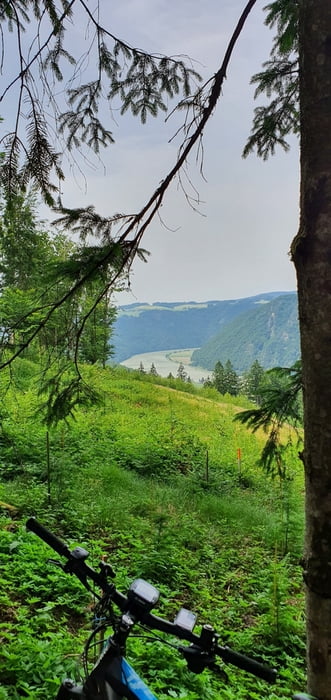
- Schlögener Ausblick: die letzten Meter zu Ausblick ist ein Fahrverbot
- Pühret - Haibach ob der Donau - Bach - Wiesing
- Hinterberg: Super Trail durch den Wald, runter bis zur B130. Straße queren Richtung Burgruine Stauff. Da kommt noch ein kurzes Fahrverbot (ca 300m)
- Stauff - Aschachtal - Dittenbach - Ritzing - Weinzierlbruck
Einschränkungen
On this tour there is a cycling ban on 0.6 kilometers!
This tour has a carry or push section on 0.2 kilometers
Галерея маршрутов


Карта маршрута и высотный профиль
Minimum height 384 m
Maximum height 671 m
More about the tour author
|
|
hknmi |
Комментарии

Einschränkungen
On this tour there is a cycling ban on 0.6 kilometers!
This tour has a carry or push section on 0.2 kilometers
GPS-Tracks
Trackpoints-
GPX / Garmin Map Source (gpx) download
-
TCX / Garmin Training Center® (tcx) download
-
CRS / Garmin Training Center® (crs) download
-
Google Earth (kml) download
-
G7ToWin (g7t) download
-
TTQV (trk) download
-
Overlay (ovl) download
-
Fugawi (txt) download
-
Kompass (DAV) Track (tk) download
-
Формуляр маршрута (pdf) download
-
Original file of the author (gpx) download
More about the tour author
|
|
hknmi |
Add to my favorites
Remove from my favorites
Edit tags
Open track
My score
Rate