Login

Забыл пароль?

Cookies have to be accepted!
Your browser's cookie functionality is disabled. Please enable this functionality.

Not a member yet?

Register now
Login

Available for registred users only

Log in to use this feature.

Забыл пароль?

Cookies have to be accepted!
Your browser's cookie functionality is disabled. Please enable this functionality.

Not a member yet?

Register now
Filter
Категории
Advanced filters
  • Длина (км)
  • Высотомер
Сохранить фильтр Reset filter

TrackRank

QRCode

Technical data

Длина52,1 km Высотомер694 m Way down748 m Длительность00:00 h:m Дата24.07.2021
Оценки Author Ландшафт Веселье Кондиция Техника

Статистика

129 Виды Оценки 2 Загрузки Среднее
Rate
  • Формуляр маршрута
  • Дорога
  • Загрузки
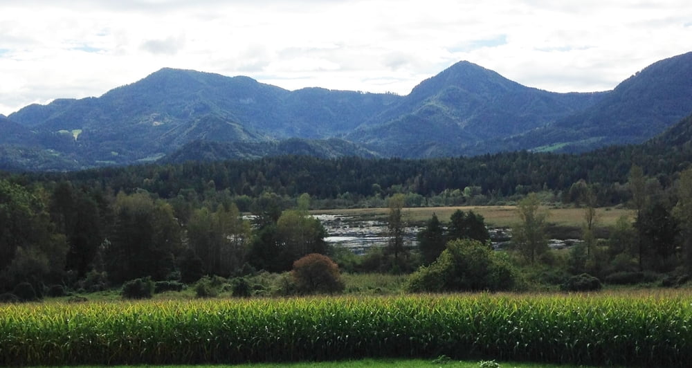
Von Klagenfurt nach Moosburg, Stallhofen, Bärndorf, Obergöriach, St. Barthlmä, Schwarz, Glanhofen, Markstein, Klein St. Veit, Pitzelstätten Klagenfurt

Карта маршрута и высотный профиль

  • Open Street Map
  • Google
Minimum height 452 m Maximum height 826 m Детальный вид

More about the tour author

walderich
Member since 2012

Send private message

Комментарии

GPS-Tracks

Trackpoints
  • GPX / Garmin Map Source (gpx) download
  • TCX / Garmin Training Center® (tcx) download
  • CRS / Garmin Training Center® (crs) download
  • Google Earth (kml) download
  • G7ToWin (g7t) download
  • TTQV (trk) download
  • Overlay (ovl) download
  • Fugawi (txt) download
  • Kompass (DAV) Track (tk) download
  • Формуляр маршрута (pdf) download
  • Original file of the author (gpx) download

More about the tour author

walderich
Member since 2012

Send private message
Share track
Add to my favorites
Remove from my favorites
Edit tags
My score
Rate
Маршрут: von Klagenfurt über Moosburg, St. Bartholomä nach Glandorf und Klagenfurt
Вид: Велосипедные маршруты
Длина: 52,1 km
Evaluated on:
Длительность:
Day(s)
Hour(s)
Minute(s)
Оценка: Ландшафт Веселье Кондиция Техника