Login

Забыл пароль?

Cookies have to be accepted!
Your browser's cookie functionality is disabled. Please enable this functionality.

Not a member yet?

Register now
Login

Available for registred users only

Log in to use this feature.

Забыл пароль?

Cookies have to be accepted!
Your browser's cookie functionality is disabled. Please enable this functionality.

Not a member yet?

Register now
Filter
Категории
Advanced filters
  • Длина (км)
  • Высотомер
Сохранить фильтр Reset filter

TrackRank

QRCode

Technical data

Длина42,1 km Высотомер1816 m Way down1734 m Длительность04:27 h:m Дата25.07.2021
Оценки Author Ландшафт Веселье Кондиция Техника

Статистика

178 Виды Оценки 13 Загрузки Среднее
Rate
  • Формуляр маршрута
  • Дорога
  • Загрузки
Viele klare Hinweistafeln am Schröcksiberg, dass MTB nur sehr eingeschränkt geduldet sind.  Die beiden möglichen Touren hab ich verbunden. Durchwegs auf gepflegten Schotterstraßen unterwegs.
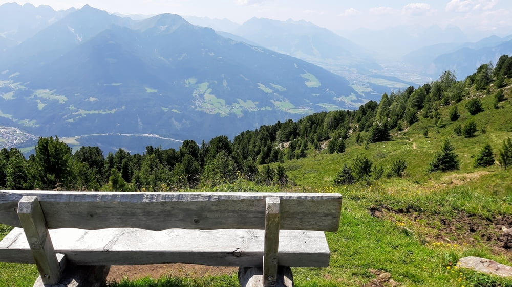
Галерея маршрутов

Карта маршрута и высотный профиль

  • Open Street Map
  • Google
Minimum height 592 m Maximum height 2251 m Детальный вид

Комментарии

Start in Innsbruck Bergisel.

GPS-Tracks

Trackpoints
  • GPX / Garmin Map Source (gpx) download
  • TCX / Garmin Training Center® (tcx) download
  • CRS / Garmin Training Center® (crs) download
  • Google Earth (kml) download
  • G7ToWin (g7t) download
  • TTQV (trk) download
  • Overlay (ovl) download
  • Fugawi (txt) download
  • Kompass (DAV) Track (tk) download
  • Формуляр маршрута (pdf) download
  • Original file of the author (gpx) download
Share track
Add to my favorites
Remove from my favorites
Edit tags
My score
Rate
Маршрут: Patscherkofel-Heiligwasser 210423
Вид: Горный велосипед
Длина: 42,1 km
Evaluated on:
Длительность:
Day(s)
Hour(s)
Minute(s)
Оценка: Ландшафт Веселье Кондиция Техника