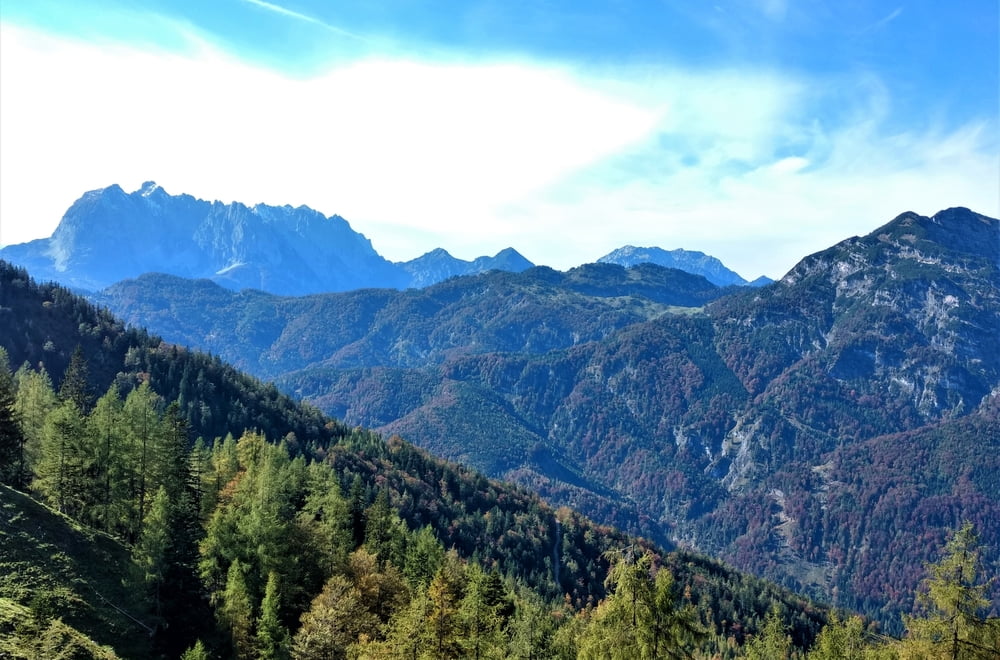
Von Seegatterl zum Straubinger-Haus und um den Weitsee.
Startpunkt ist der Parkplatz Seegatterl. Vom Parkplatz Richtung Reit im Winkl weiter zur Klausenberg-Alm zum Straubinger Haus. Zurück geht’s über die Hindenburghütte wieder zum Parkplatz Seegatterl. Wer noch lust hat kann noch die Runde um den Weitsee fahren im Sommer mit Bademöglichkeit.
ca. 44 Kilometer und ca. 1500 HM
Галерея маршрутов
Карта маршрута и высотный профиль
Minimum height 687 m
Maximum height 1565 m
Комментарии

GPS-Tracks
Trackpoints-
GPX / Garmin Map Source (gpx) download
-
TCX / Garmin Training Center® (tcx) download
-
CRS / Garmin Training Center® (crs) download
-
Google Earth (kml) download
-
G7ToWin (g7t) download
-
TTQV (trk) download
-
Overlay (ovl) download
-
Fugawi (txt) download
-
Kompass (DAV) Track (tk) download
-
Формуляр маршрута (pdf) download
-
Original file of the author (gpx) download
Add to my favorites
Remove from my favorites
Edit tags
Open track
My score
Rate


