Login

Забыл пароль?

Cookies have to be accepted!
Your browser's cookie functionality is disabled. Please enable this functionality.

Not a member yet?

Register now
Login

Available for registred users only

Log in to use this feature.

Забыл пароль?

Cookies have to be accepted!
Your browser's cookie functionality is disabled. Please enable this functionality.

Not a member yet?

Register now
Filter
Категории
Advanced filters
  • Длина (км)
  • Высотомер
Сохранить фильтр Reset filter

TrackRank

QRCode

Technical data

Длина14,6 km Высотомер1476 m Way down1195 m Длительность06:26 h:m Дата27.03.2022
Оценки Author Ландшафт Веселье Кондиция Техника

Статистика

196 Виды Оценки 14 Загрузки Среднее
Rate
  • Формуляр маршрута
  • Дорога
  • Загрузки

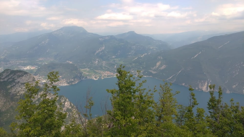
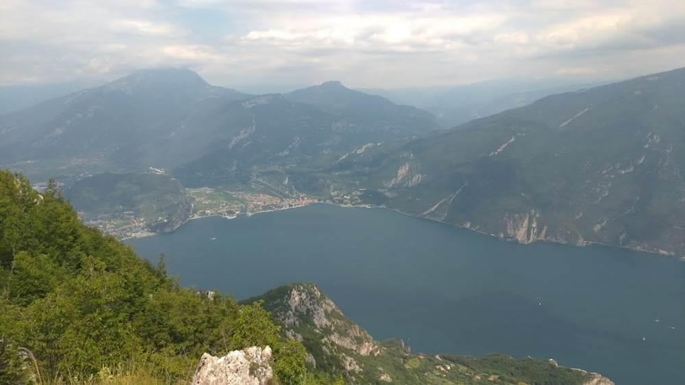
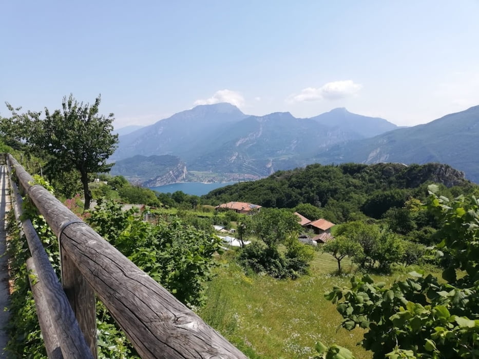
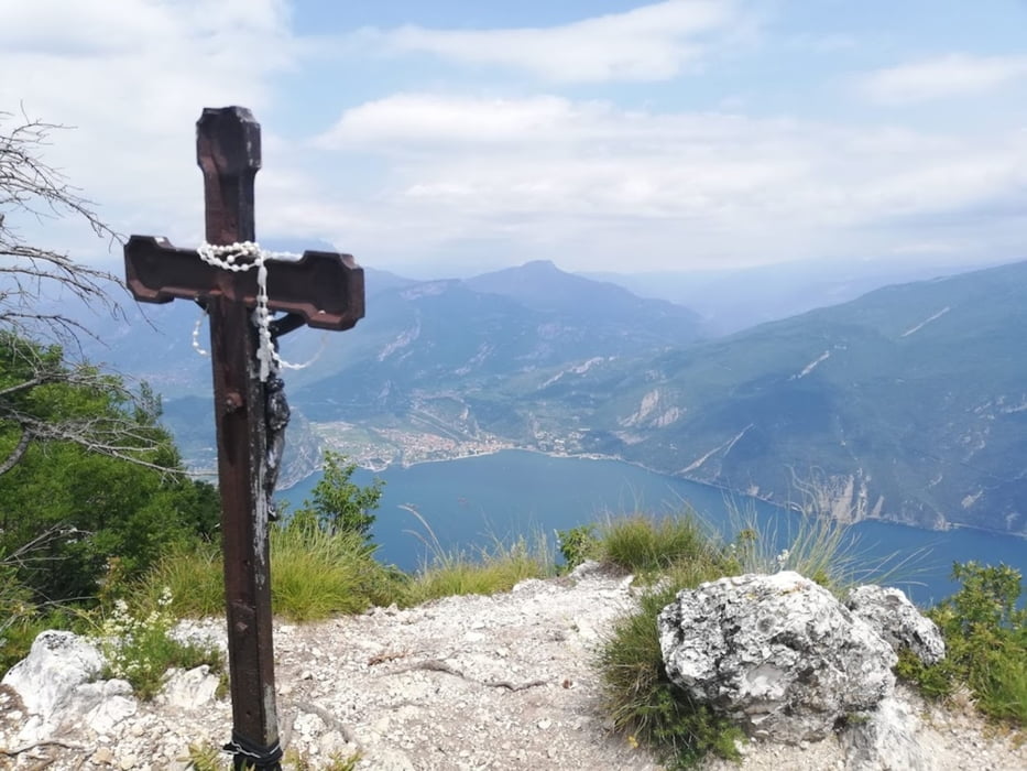
giro facile per la creste fino a punta larici

solamente il primo tratto (1h30minuti) è un po impegnativo per la pendenza, poi una volta raggiunta la prima cresta il giro è fattibile per tutti e molto facile

paesaggi molto belli, con vista sul lago di garda e sul lago di ledro (dalla cima)

Галерея маршрутов

Карта маршрута и высотный профиль

  • Open Street Map
  • Google
Minimum height 206 m Maximum height 1355 m Детальный вид

More about the tour author

mamau
Member since 2021

Send private message

Комментарии

GPS-Tracks

Trackpoints
  • GPX / Garmin Map Source (gpx) download
  • TCX / Garmin Training Center® (tcx) download
  • CRS / Garmin Training Center® (crs) download
  • Google Earth (kml) download
  • G7ToWin (g7t) download
  • TTQV (trk) download
  • Overlay (ovl) download
  • Fugawi (txt) download
  • Kompass (DAV) Track (tk) download
  • Формуляр маршрута (pdf) download
  • Original file of the author (gpx) download

More about the tour author

mamau
Member since 2021

Send private message
Share track
Add to my favorites
Remove from my favorites
Edit tags
My score
Rate
Маршрут: Punta Larici per le creste da Pregasina
Вид: Горный маршрут
Длина: 14,6 km
Evaluated on:
Длительность:
Day(s)
Hour(s)
Minute(s)
Оценка: Ландшафт Веселье Кондиция Техника