

St. Peter-St. Johann-St. Veit-Hofing-Eidenberger Alm-Lichtenberg-Linz Hbhf
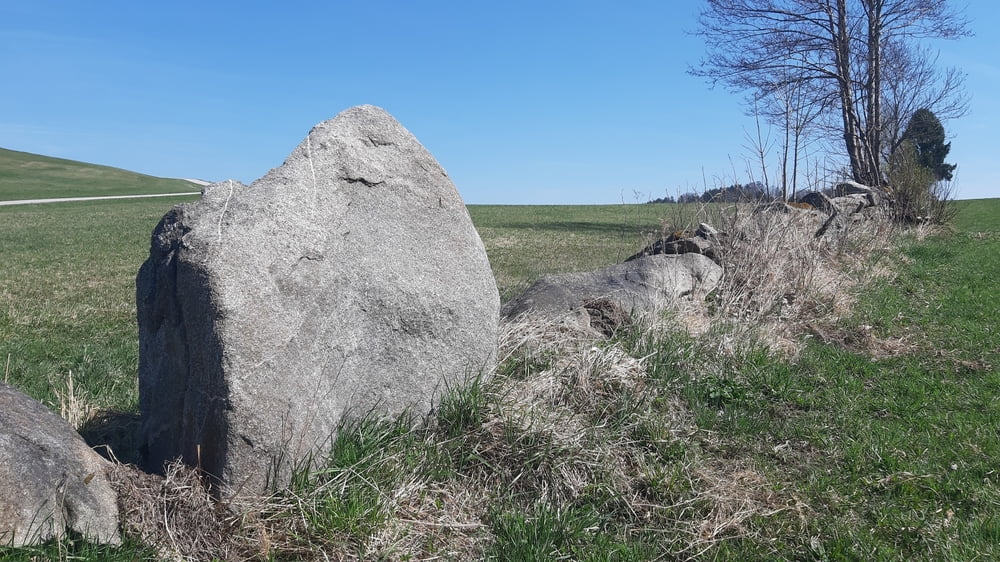
4. und letzter Tag der Granitlandrunde. Mit einigen schönen trails und einer guten Einkehr in der Eidenberger Alm.
Ab dem Gipfelkreuz Lichtenberg (private Hütte) geht es fast nur noch bergab bis zum Ausgangspunkt, Linz Hbhf.
Галерея маршрутов


Карта маршрута и высотный профиль
Minimum height 278 m
Maximum height 887 m
More about the tour author
|
|
mitter |
Комментарии

GPS-Tracks
Trackpoints-
GPX / Garmin Map Source (gpx) download
-
TCX / Garmin Training Center® (tcx) download
-
CRS / Garmin Training Center® (crs) download
-
Google Earth (kml) download
-
G7ToWin (g7t) download
-
TTQV (trk) download
-
Overlay (ovl) download
-
Fugawi (txt) download
-
Kompass (DAV) Track (tk) download
-
Формуляр маршрута (pdf) download
-
Original file of the author (gpx) download
More about the tour author
|
|
mitter |
Add to my favorites
Remove from my favorites
Edit tags
Open track
My score
Rate