
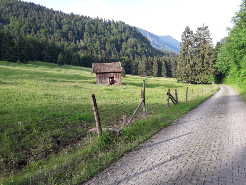

Landschaftlich schöne und einfache MTB Runde.
Abfahrt vom Hotel Alpenblick in Ohlstadt, dort auf Seitenstrassen die erste Steigung hoch. abwechslungsreich im Wald mit immer wieder schönen Ausblicken. Bei Kreut biegt man links ab und fährt auf Waldwegen Richtung Schwaiganger und weiter Richtung Segelflugplatz.
Man fährt unter der Autobahn hindurch Richtung Weis auf Radwegen wieder zurück richtung Ohlstadt.
Empfehlenswert ist ein MTB
Галерея маршрутов


Карта маршрута и высотный профиль
Minimum height 635 m
Maximum height 935 m
More about the tour author
|
|
franz1962 |
Комментарии

GPS-Tracks
Trackpoints-
GPX / Garmin Map Source (gpx) download
-
TCX / Garmin Training Center® (tcx) download
-
CRS / Garmin Training Center® (crs) download
-
Google Earth (kml) download
-
G7ToWin (g7t) download
-
TTQV (trk) download
-
Overlay (ovl) download
-
Fugawi (txt) download
-
Kompass (DAV) Track (tk) download
-
Формуляр маршрута (pdf) download
-
Original file of the author (gpx) download
More about the tour author
|
|
franz1962 |
Add to my favorites
Remove from my favorites
Edit tags
Open track
My score
Rate