Login

Забыл пароль?

Cookies have to be accepted!
Your browser's cookie functionality is disabled. Please enable this functionality.

Not a member yet?

Register now
Login

Available for registred users only

Log in to use this feature.

Забыл пароль?

Cookies have to be accepted!
Your browser's cookie functionality is disabled. Please enable this functionality.

Not a member yet?

Register now
Filter
Категории
Advanced filters
  • Длина (км)
  • Высотомер
Сохранить фильтр Reset filter

TrackRank

QRCode

Technical data

Длина2,8 km Высотомер5 m Way down232 m Длительность01:41 h:m Дата23.06.2022
Оценки Author Ландшафт Веселье Кондиция Техника

Статистика

227 Виды Оценки 0 Загрузки Среднее
Rate
  • Формуляр маршрута
  • Дорога
  • Загрузки

Галерея маршрутов

Карта маршрута и высотный профиль

  • Open Street Map
  • Google
Minimum height 1346 m Maximum height 1585 m Детальный вид

More about the tour author

horst1508
Member since 2012

Send private message

Комментарии

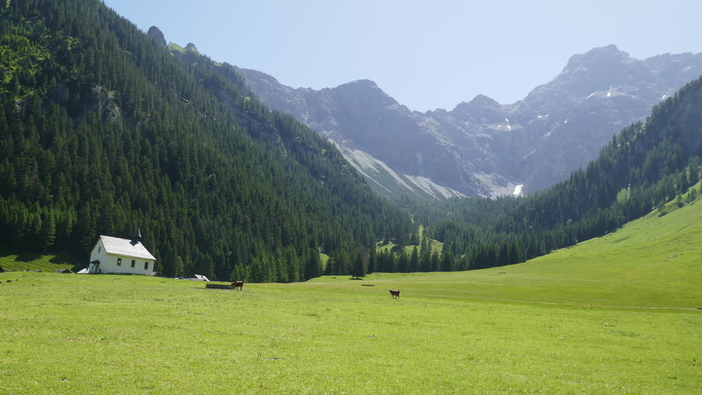
Wir werden am Bahnhof Nenzing mit dem Bus der Firma Lisi & Friedl (Tel. +43 5525 62594) abgeholt, Autos, Motrorräder und Fahrräder dürfen die Zugangsstraße nicht benutzen. Im Nenziger Himmel machen wir eine kürzeree leicher Wanderung zur Alpe Güfel, die damals nicht bewirtschaftet war,

GPS-Tracks

Trackpoints
  • GPX / Garmin Map Source (gpx) download
  • TCX / Garmin Training Center® (tcx) download
  • CRS / Garmin Training Center® (crs) download
  • Google Earth (kml) download
  • G7ToWin (g7t) download
  • TTQV (trk) download
  • Overlay (ovl) download
  • Fugawi (txt) download
  • Kompass (DAV) Track (tk) download
  • Формуляр маршрута (pdf) download
  • Original file of the author (gpx) download

More about the tour author

horst1508
Member since 2012

Send private message
Share track
Add to my favorites
Remove from my favorites
Edit tags
My score
Rate
Маршрут: Im Nenziger Himmel zur Alpe Güfel
Вид: Пешеходный туризм
Длина: 2,8 km
Evaluated on:
Длительность:
Day(s)
Hour(s)
Minute(s)
Оценка: Ландшафт Веселье Кондиция Техника