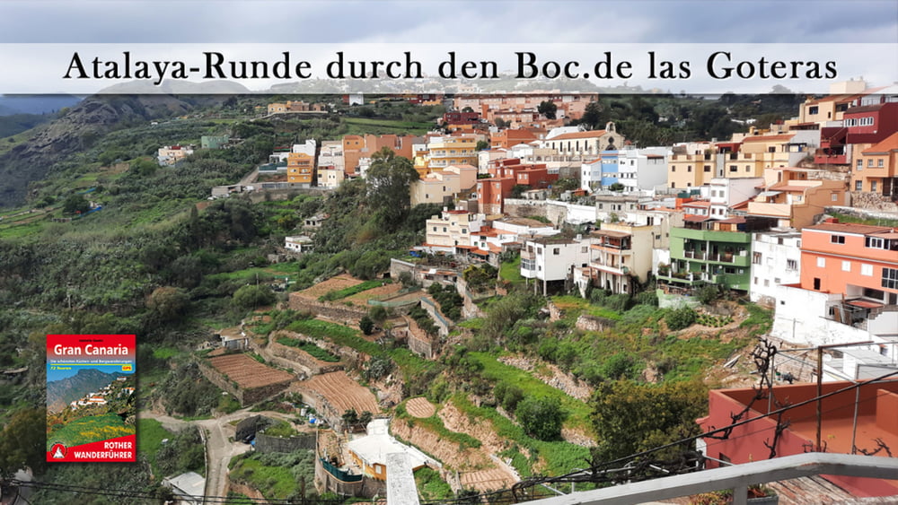
Die Atalaya-Runde Startet am Reitgelände des Clubs de Hipica. Es handelt sich um einen kurzen aber lohnenden Weg durch den grünen Barranco de las Goteras, der zunächst zu einer Kapelle hinabführt. Der weitere Weg verläuft moderat, steigend dann aber nach Atalaya steil an. Nach einem Besuch in einem Keramikzentrum geht es zurück zum Ausgangspunkt.
Галерея маршрутов
Карта маршрута и высотный профиль
Minimum height 293 m
Maximum height 553 m
Комментарии

GPS-Tracks
Trackpoints-
GPX / Garmin Map Source (gpx) download
-
TCX / Garmin Training Center® (tcx) download
-
CRS / Garmin Training Center® (crs) download
-
Google Earth (kml) download
-
G7ToWin (g7t) download
-
TTQV (trk) download
-
Overlay (ovl) download
-
Fugawi (txt) download
-
Kompass (DAV) Track (tk) download
-
Формуляр маршрута (pdf) download
-
Original file of the author (gpx) download
Add to my favorites
Remove from my favorites
Edit tags
Open track
My score
Rate


