Login

Забыл пароль?

Cookies have to be accepted!
Your browser's cookie functionality is disabled. Please enable this functionality.

Not a member yet?

Register now
Login

Available for registred users only

Log in to use this feature.

Забыл пароль?

Cookies have to be accepted!
Your browser's cookie functionality is disabled. Please enable this functionality.

Not a member yet?

Register now
Filter
Категории
Advanced filters
  • Длина (км)
  • Высотомер
Сохранить фильтр Reset filter

TrackRank

QRCode

Technical data

Длина53,7 km Высотомер305 m Way down320 m Длительность00:00 h:m Дата02.09.2022
Оценки Author Ландшафт Веселье Кондиция Техника

Статистика

178 Виды Оценки 1 Загрузка Среднее
Rate
  • Формуляр маршрута
  • Дорога
  • Загрузки
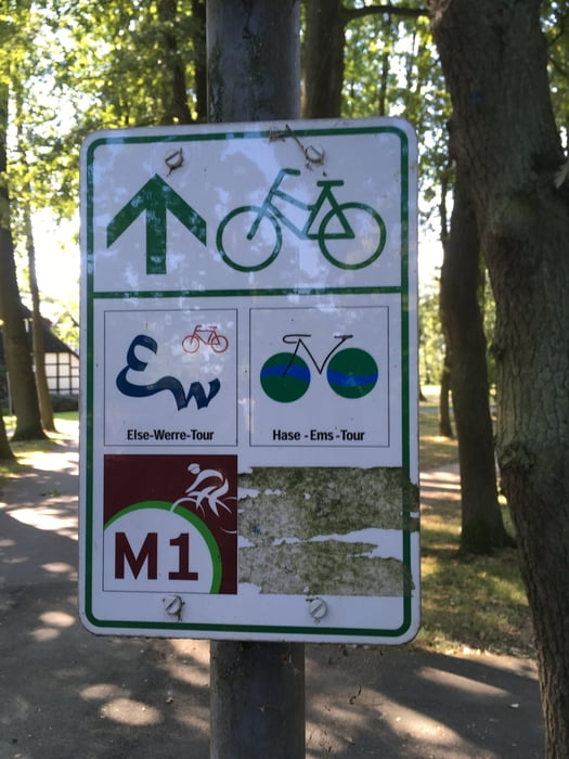
Vom Bf Melle zur Hasequelle und zur Hase-Bifurkation. Die Hase trennt sich auf in Hase (Fließrichtung Nordwest zur Ems) und Else (Fließrichtung Ost zur Werre/Weser). Endpunkt ist Hbf Osnabrück.

Галерея маршрутов

Карта маршрута и высотный профиль

  • Open Street Map
  • Google
Minimum height 63 m Maximum height 175 m Детальный вид

More about the tour author

Velo-Oldie
Member since 2009

Send private message

Комментарии

GPS-Tracks

Trackpoints
  • GPX / Garmin Map Source (gpx) download
  • TCX / Garmin Training Center® (tcx) download
  • CRS / Garmin Training Center® (crs) download
  • Google Earth (kml) download
  • G7ToWin (g7t) download
  • TTQV (trk) download
  • Overlay (ovl) download
  • Fugawi (txt) download
  • Kompass (DAV) Track (tk) download
  • Формуляр маршрута (pdf) download
  • Original file of the author (gpx) download

More about the tour author

Velo-Oldie
Member since 2009

Send private message
Share track
Add to my favorites
Remove from my favorites
Edit tags
My score
Rate
Маршрут: Hase-Ems-Tour, Teil 1: von Melle nach Osnabrück
Вид: Велосипедные маршруты
Длина: 53,7 km
Evaluated on:
Длительность:
Day(s)
Hour(s)
Minute(s)
Оценка: Ландшафт Веселье Кондиция Техника