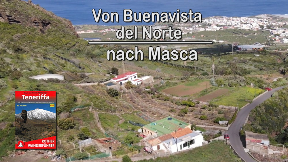
Abwechslungsreicher kann eine Wanderung nicht sein. Der Aufstieg durch das Palmar-Tal führt uns durch das ländliche, noch weitgehend unverdorbene Teneriffa. Anschließend erwartet uns eine aussichtsreiche Überschreitung der Cumbre del Carrizal. In genussreichem Abstieg geht es von dort hinab zu den Palmenhainen des herrlich gelegenen Ort Masca.
Галерея маршрутов
Карта маршрута и высотный профиль
Minimum height 129 m
Maximum height 939 m
Комментарии

GPS-Tracks
Trackpoints-
GPX / Garmin Map Source (gpx) download
-
TCX / Garmin Training Center® (tcx) download
-
CRS / Garmin Training Center® (crs) download
-
Google Earth (kml) download
-
G7ToWin (g7t) download
-
TTQV (trk) download
-
Overlay (ovl) download
-
Fugawi (txt) download
-
Kompass (DAV) Track (tk) download
-
Формуляр маршрута (pdf) download
-
Original file of the author (gpx) download
Add to my favorites
Remove from my favorites
Edit tags
Open track
My score
Rate


