Login

Забыл пароль?

Cookies have to be accepted!
Your browser's cookie functionality is disabled. Please enable this functionality.

Not a member yet?

Register now
Login

Available for registred users only

Log in to use this feature.

Забыл пароль?

Cookies have to be accepted!
Your browser's cookie functionality is disabled. Please enable this functionality.

Not a member yet?

Register now
Filter
Категории
Advanced filters
  • Длина (км)
  • Высотомер
Сохранить фильтр Reset filter

TrackRank

QRCode

Technical data

Длина38,0 km Высотомер474 m Way down476 m Длительность00:00 h:m Дата26.06.2024
Оценки Author Ландшафт Веселье Кондиция Техника

Статистика

114 Виды Оценки 0 Загрузки Среднее
Rate
  • Формуляр маршрута
  • Дорога
  • Загрузки

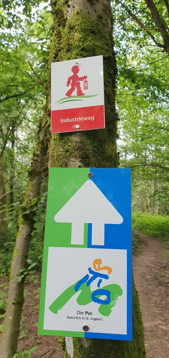
Tolle Rundfahrt um St. Ingbert. Alles was der Biker/in braucht und will.

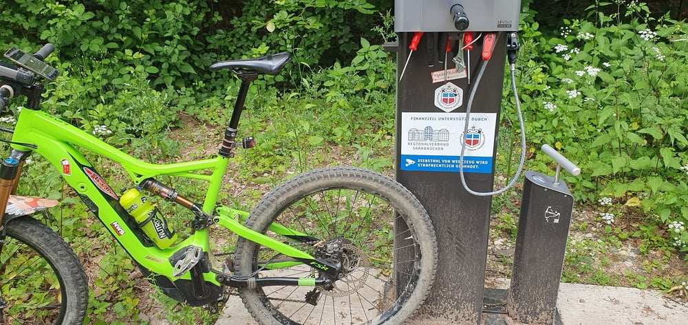
Einkehrmöglichkeiten , Rastplätze, Sogar Werkzeug/ Luftpumpen Staionen sind vorhanden.
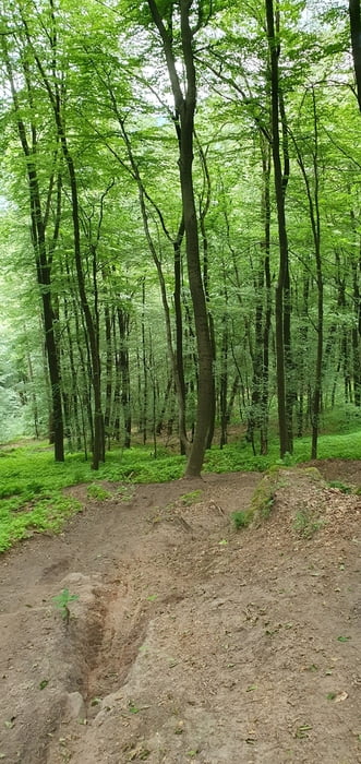
 

Галерея маршрутов

Карта маршрута и высотный профиль

  • Open Street Map
  • Google
Minimum height 222 m Maximum height 324 m Детальный вид

More about the tour author

rotwilder
Member since 2009

Send private message

Комментарии

GPS-Tracks

Trackpoints
  • GPX / Garmin Map Source (gpx) download
  • TCX / Garmin Training Center® (tcx) download
  • CRS / Garmin Training Center® (crs) download
  • Google Earth (kml) download
  • G7ToWin (g7t) download
  • TTQV (trk) download
  • Overlay (ovl) download
  • Fugawi (txt) download
  • Kompass (DAV) Track (tk) download
  • Формуляр маршрута (pdf) download
  • Original file of the author (gpx) download

More about the tour author

rotwilder
Member since 2009

Send private message
Share track
Add to my favorites
Remove from my favorites
Edit tags
My score
Rate
Маршрут: Rundfahrt Ingbert
Вид: Горный велосипед
Длина: 38,0 km
Evaluated on:
Длительность:
Day(s)
Hour(s)
Minute(s)
Оценка: Ландшафт Веселье Кондиция Техника