Login

Забыл пароль?

Cookies have to be accepted!
Your browser's cookie functionality is disabled. Please enable this functionality.

Not a member yet?

Register now
Login

Available for registred users only

Log in to use this feature.

Забыл пароль?

Cookies have to be accepted!
Your browser's cookie functionality is disabled. Please enable this functionality.

Not a member yet?

Register now
Filter
Категории
Advanced filters
  • Длина (км)
  • Высотомер
Сохранить фильтр Reset filter

TrackRank

QRCode

Technical data

Длина157,7 km Высотомер2998 m Way down3001 m Длительность04:00 h:m Дата07.07.2024
Оценки Author Ландшафт Веселье Кондиция Техника

Статистика

124 Виды Оценки 1 Загрузка Среднее
Rate
  • Формуляр маршрута
  • Дорога
  • Загрузки
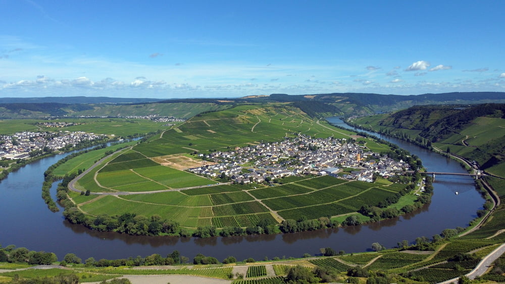
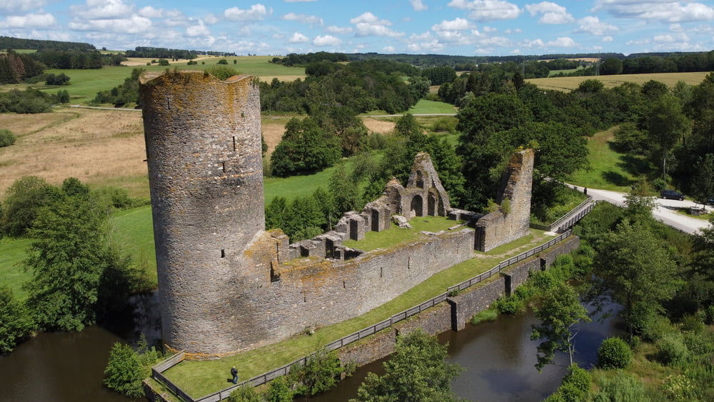
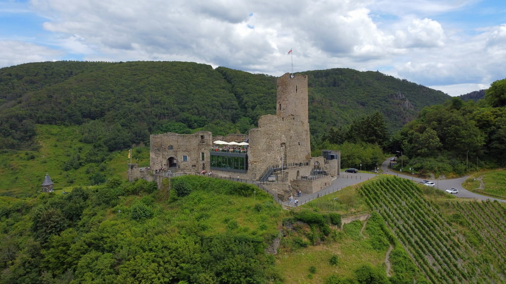
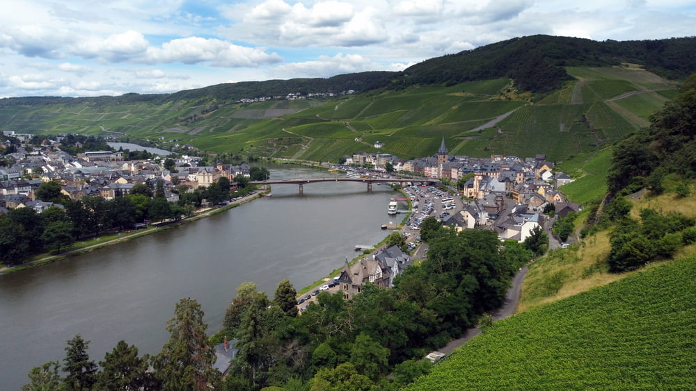
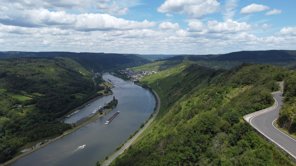
Een mooi rondritje met een stop aan de Zummethöhe, Burg Baldenau, Starkenburg en Burg Landshut.
Onderweg vind je genoeg drank en eetgelegenheden, ook tanken is geen enkel probleem.

Галерея маршрутов

Карта маршрута и высотный профиль

  • Open Street Map
  • Google
Minimum height 93 m Maximum height 587 m Детальный вид

More about the tour author

ikkel
Member since 2009

Send private message

Комментарии

GPS-Tracks

Trackpoints
  • GPX / Garmin Map Source (gpx) download
  • TCX / Garmin Training Center® (tcx) download
  • CRS / Garmin Training Center® (crs) download
  • Google Earth (kml) download
  • G7ToWin (g7t) download
  • TTQV (trk) download
  • Overlay (ovl) download
  • Fugawi (txt) download
  • Kompass (DAV) Track (tk) download
  • Формуляр маршрута (pdf) download
  • Original file of the author (gpx) download

More about the tour author

ikkel
Member since 2009

Send private message
Share track
Add to my favorites
Remove from my favorites
Edit tags
My score
Rate
Маршрут: Moezel-Hunsrück ritje
Вид: Мотоцикл
Длина: 157,7 km
Evaluated on:
Длительность:
Day(s)
Hour(s)
Minute(s)
Оценка: Ландшафт Веселье Кондиция Техника