Login

Забыл пароль?

Cookies have to be accepted!
Your browser's cookie functionality is disabled. Please enable this functionality.

Not a member yet?

Register now
Login

Available for registred users only

Log in to use this feature.

Забыл пароль?

Cookies have to be accepted!
Your browser's cookie functionality is disabled. Please enable this functionality.

Not a member yet?

Register now
Filter
Категории
Advanced filters
  • Длина (км)
  • Высотомер
Сохранить фильтр Reset filter

TrackRank

QRCode

Technical data

Длина10,4 km Высотомер167 m Way down229 m Длительность00:00 h:m Дата08.07.2024
Оценки Author Ландшафт Веселье Кондиция Техника

Статистика

128 Виды Оценки 0 Загрузки Среднее
Rate
  • Формуляр маршрута
  • Дорога
  • Загрузки
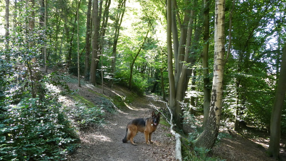
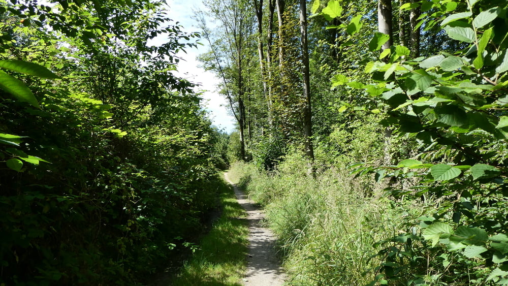
Der Weg führt überwiegend über schmale Pfade durch Wald und Wiesen an Bächen entlang. 

Further information at

https://www.sudowe.eu/index.php/renate-s-blog/berichte-2024/390-am-leimbach-entlang

Галерея маршрутов

Карта маршрута и высотный профиль

  • Open Street Map
  • Google
Minimum height 92 m Maximum height 172 m Детальный вид

More about the tour author

Renatelev
Member since 2012

Send private message

Комментарии

Parkplatz am Ophovener Weiher in Leverkusen Steinbüchel

Am Kreisverkehr Ecke Oulustraße/Steibücheler Straße

GPS-Tracks

Trackpoints
  • GPX / Garmin Map Source (gpx) download
  • TCX / Garmin Training Center® (tcx) download
  • CRS / Garmin Training Center® (crs) download
  • Google Earth (kml) download
  • G7ToWin (g7t) download
  • TTQV (trk) download
  • Overlay (ovl) download
  • Fugawi (txt) download
  • Kompass (DAV) Track (tk) download
  • Формуляр маршрута (pdf) download
  • Original file of the author (gpx) download

More about the tour author

Renatelev
Member since 2012

Send private message
Share track
Add to my favorites
Remove from my favorites
Edit tags
My score
Rate
Маршрут: Am Leimbach entlang
Вид: Пешеходный туризм
Длина: 10,4 km
Evaluated on:
Длительность:
Day(s)
Hour(s)
Minute(s)
Оценка: Ландшафт Веселье Кондиция Техника