Login

Забыл пароль?

Cookies have to be accepted!
Your browser's cookie functionality is disabled. Please enable this functionality.

Not a member yet?

Register now
Login

Available for registred users only

Log in to use this feature.

Забыл пароль?

Cookies have to be accepted!
Your browser's cookie functionality is disabled. Please enable this functionality.

Not a member yet?

Register now
Filter
Категории
Advanced filters
  • Длина (км)
  • Высотомер
Сохранить фильтр Reset filter

TrackRank

QRCode

Technical data

Длина9,8 km Высотомер747 m Way down688 m Длительность00:00 h:m Дата08.07.2008
Оценки Author Ландшафт Веселье Кондиция Техника

Статистика

388 Виды 1 Оценка 64 Загрузки 4.00 Среднее
Rate
  • Формуляр маршрута
  • Дорога
  • Загрузки
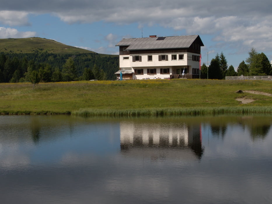
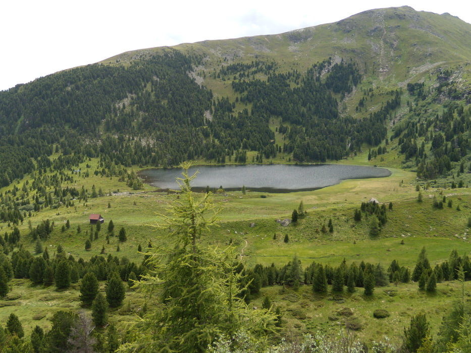
Einfache Halbtagestour von 1700 auf 2400 Hm. Die Tour ist sehr gut beschildert und beliebig erweiterbar... als  Tagestour. Wir sind vor Zirbitzkogel zurück ins Tal gegangen.  Durch die Mögliche Anfahrt bis auf ca 1700 Hm, ist die Tour auch für die Leute mit Konditionsproblemem gut machbar....

Галерея маршрутов

Карта маршрута и высотный профиль

  • Open Street Map
  • Google
Minimum height 1706 m Maximum height 2347 m Детальный вид

More about the tour author

Hrabe
Member since 2008

Send private message

Комментарии

GPS-Tracks

Trackpoints
  • GPX / Garmin Map Source (gpx) download
  • TCX / Garmin Training Center® (tcx) download
  • CRS / Garmin Training Center® (crs) download
  • Google Earth (kml) download
  • G7ToWin (g7t) download
  • TTQV (trk) download
  • Overlay (ovl) download
  • Fugawi (txt) download
  • Kompass (DAV) Track (tk) download
  • Формуляр маршрута (pdf) download
  • Original file of the author (gpx) download

More about the tour author

Hrabe
Member since 2008

Send private message
Share track
Add to my favorites
Remove from my favorites
Edit tags
My score
Rate
Маршрут: Halbtagesrunde
Вид: Пешеходный туризм
Длина: 9,8 km
Evaluated on:
Длительность:
Day(s)
Hour(s)
Minute(s)
Оценка: Ландшафт Веселье Кондиция Техника