
")

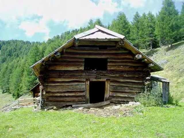
Ziel Eggeralm in der Teuchl.
Die Auffahrt bietet einen wunderbaren Blick auf das Lurnfeld bzw. auf den Milstättersee
Die Auffahrt bietet einen wunderbaren Blick auf das Lurnfeld bzw. auf den Milstättersee
Галерея маршрутов
Карта маршрута и высотный профиль
Minimum height 624 m
Maximum height 1821 m
More about the tour author

|
mastergraf |
Комментарии
Ausgangspunkt ist das Gästehaus Graf
www.gaestehaus-graf.at
in Kolbnitz (Geimeinde Reisseck / Unteres Mölltal)
Auto: von Salzburg: Tauernautobahn A10, Abfahrt Lendorf, weiter Richtung Mölltal (Mallnitz) über Möllbrücke, Mühldorf bis Reißeck
von Süden: Grenzübergang Tarvisio, Autobahn Villach, Spittal, Abfahrt Mallnitz, weiter bis Reißeck
Bahn: Mit Bahn nach Spittal Millstätter See und von dort mittels Regionalzug oder Bus nach Kolbnitz
GPS-Tracks
Trackpoints-
GPX / Garmin Map Source (gpx) download
-
TCX / Garmin Training Center® (tcx) download
-
CRS / Garmin Training Center® (crs) download
-
Google Earth (kml) download
-
G7ToWin (g7t) download
-
TTQV (trk) download
-
Overlay (ovl) download
-
Fugawi (txt) download
-
Kompass (DAV) Track (tk) download
-
Формуляр маршрута (pdf) download
-
Original file of the author (g7t) download
More about the tour author
|
|
mastergraf |
Add to my favorites
Remove from my favorites
Edit tags
Open track
My score
Rate
Schön und anstrengend