Login

Забыл пароль?

Cookies have to be accepted!
Your browser's cookie functionality is disabled. Please enable this functionality.

Not a member yet?

Register now
Login

Available for registred users only

Log in to use this feature.

Забыл пароль?

Cookies have to be accepted!
Your browser's cookie functionality is disabled. Please enable this functionality.

Not a member yet?

Register now
Filter
Категории
Advanced filters
  • Длина (км)
  • Высотомер
Сохранить фильтр Reset filter

TrackRank

QRCode

Technical data

Длина9,8 km Высотомер536 m Way down681 m Длительность03:30 h:m Дата16.08.2008
Оценки Author Ландшафт Веселье Кондиция Техника

Статистика

1864 Виды Оценки 182 Загрузки Среднее
Rate
  • Формуляр маршрута
  • Дорога
  • Загрузки
  • Wanderung von Dreischusterhütte zum Dolomitenhof / Fischleintal über Innergsell
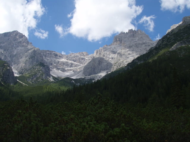
  • Gut markierter Weg nördlich der Dreischusterspitze
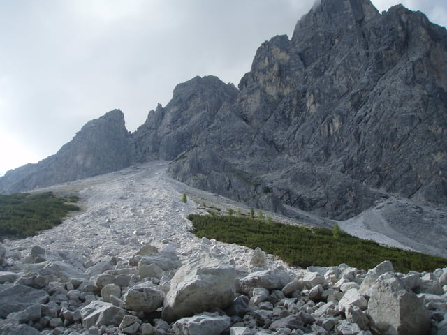
  • Teilweise mit Überquerung gewaltiger Geröllhänge

Галерея маршрутов

Карта маршрута и высотный профиль

  • Open Street Map
  • Google
Minimum height 1463 m Maximum height 2068 m Детальный вид

More about the tour author

roxidura
Member since 2008

Send private message

Комментарии

GPS-Tracks

Trackpoints
  • GPX / Garmin Map Source (gpx) download
  • TCX / Garmin Training Center® (tcx) download
  • CRS / Garmin Training Center® (crs) download
  • Google Earth (kml) download
  • G7ToWin (g7t) download
  • TTQV (trk) download
  • Overlay (ovl) download
  • Fugawi (txt) download
  • Kompass (DAV) Track (tk) download
  • Формуляр маршрута (pdf) download
  • Original file of the author (gpx) download

More about the tour author

roxidura
Member since 2008

Send private message
Share track
Add to my favorites
Remove from my favorites
Edit tags
My score
Rate
Маршрут: Dreischusterhütte-Innergsell-Fischleintal
Вид: Пешеходный туризм
Длина: 9,8 km
Evaluated on:
Длительность:
Day(s)
Hour(s)
Minute(s)
Оценка: Ландшафт Веселье Кондиция Техника