Login

Забыл пароль?

Cookies have to be accepted!
Your browser's cookie functionality is disabled. Please enable this functionality.

Not a member yet?

Register now
Login

Available for registred users only

Log in to use this feature.

Забыл пароль?

Cookies have to be accepted!
Your browser's cookie functionality is disabled. Please enable this functionality.

Not a member yet?

Register now
Filter
Категории
Advanced filters
  • Длина (км)
  • Высотомер
Сохранить фильтр Reset filter

TrackRank

QRCode

Technical data

Длина110,7 km Высотомер492 m Way down1077 m Длительность07:00 h:m Дата26.08.2005
Оценки Author Ландшафт Веселье Кондиция Техника

Статистика

4907 Виды Оценки 816 Загрузки Среднее
Rate
  • Формуляр маршрута
  • Дорога
  • Загрузки
Diemel-Radweg Radwanderkarte 1: 50.000 BVA Bielefelder Verlag ISBN 3-87073-215-6

Further information at

http://www.diemelradweg.de

Галерея маршрутов

Карта маршрута и высотный профиль

  • Open Street Map
  • Google
Minimum height 97 m Maximum height 693 m Детальный вид

More about the tour author

LWAF
Member since 2005

Send private message

Комментарии

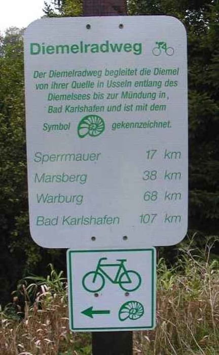
A44 Dortmund>Kassel Abfahrt Bad Wünnenberg> Brilon>Brilon Wald > Willingen > Usseln in Usseln auf Wegweiser "Diemelquelle" achten Rechte Seite und immer Straßenverlauf folgen.

GPS-Tracks

Trackpoints
  • GPX / Garmin Map Source (gpx) download
  • TCX / Garmin Training Center® (tcx) download
  • CRS / Garmin Training Center® (crs) download
  • Google Earth (kml) download
  • G7ToWin (g7t) download
  • TTQV (trk) download
  • Overlay (ovl) download
  • Fugawi (txt) download
  • Kompass (DAV) Track (tk) download
  • Формуляр маршрута (pdf) download
  • Original file of the author (gpx) download

More about the tour author

LWAF
Member since 2005

Send private message
Share track
Add to my favorites
Remove from my favorites
Edit tags
My score
Rate
Маршрут: Diemelradweg
Вид: Трековый велосипед
Длина: 110,7 km
Evaluated on:
Длительность:
Day(s)
Hour(s)
Minute(s)
Оценка: Ландшафт Веселье Кондиция Техника