Login

Забыл пароль?

Cookies have to be accepted!
Your browser's cookie functionality is disabled. Please enable this functionality.

Not a member yet?

Register now
Login

Available for registred users only

Log in to use this feature.

Забыл пароль?

Cookies have to be accepted!
Your browser's cookie functionality is disabled. Please enable this functionality.

Not a member yet?

Register now
Filter
Категории
Advanced filters
  • Длина (км)
  • Высотомер
Сохранить фильтр Reset filter

TrackRank

QRCode

Technical data

Длина46,9 km Высотомер1082 m Way down1077 m Длительность02:20 h:m Дата30.08.2008
Оценки Author Ландшафт Веселье Кондиция Техника

Статистика

872 Виды Оценки 167 Загрузки Среднее
Rate
  • Формуляр маршрута
  • Дорога
  • Загрузки
Stehts den Track folgen. 
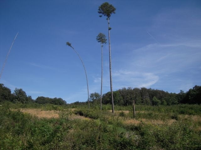
Schöne Kombination aus Gelände und Straße. Keine Trage- und Schiebestrecke.

Further information at

http://www.mbike.at

Галерея маршрутов

Карта маршрута и высотный профиль

  • Open Street Map
  • Google
Minimum height 176 m Maximum height 453 m Детальный вид

More about the tour author

hummel
Member since 2006

Send private message

Комментарии

Die Tour beginnt in Greifenstein an der Donau, unterhlb der Burg Greifenstein.

GPS-Tracks

Trackpoints
  • GPX / Garmin Map Source (gpx) download
  • TCX / Garmin Training Center® (tcx) download
  • CRS / Garmin Training Center® (crs) download
  • Google Earth (kml) download
  • G7ToWin (g7t) download
  • TTQV (trk) download
  • Overlay (ovl) download
  • Fugawi (txt) download
  • Kompass (DAV) Track (tk) download
  • Формуляр маршрута (pdf) download
  • Original file of the author (gpx) download

More about the tour author

hummel
Member since 2006

Send private message
Share track
Add to my favorites
Remove from my favorites
Edit tags
My score
Rate
Маршрут: nördlicher Wienerwald, Greifenstein, Sankt Andrä, Wolfspassing
Вид: Горный велосипед
Длина: 46,9 km
Evaluated on:
Длительность:
Day(s)
Hour(s)
Minute(s)
Оценка: Ландшафт Веселье Кондиция Техника