Login

Забыл пароль?

Cookies have to be accepted!
Your browser's cookie functionality is disabled. Please enable this functionality.

Not a member yet?

Register now
Login

Available for registred users only

Log in to use this feature.

Забыл пароль?

Cookies have to be accepted!
Your browser's cookie functionality is disabled. Please enable this functionality.

Not a member yet?

Register now
Filter
Категории
Advanced filters
  • Длина (км)
  • Высотомер
Сохранить фильтр Reset filter

TrackRank

QRCode

Technical data

Длина19,3 km Высотомер1496 m Way down1748 m Длительность06:00 h:m Дата02.09.2008
Оценки Author Ландшафт Веселье Кондиция Техника

Статистика

1925 Виды Оценки 46 Загрузки Среднее
Rate
  • Формуляр маршрута
  • Дорога
  • Загрузки

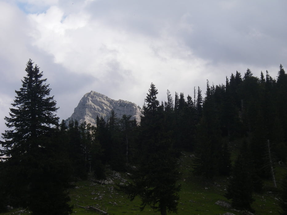
GSCHEID-GSENGER-GOELLERGIPFEL-

GOELLERHUETTE-WALDHUETTSATTEL-

SCHNALZSTEIN-GAMSMAUER-POLLWISCH

ALM-neuer Bergrettungssteig-GIPPELGIPFEL-

GIPPELMAUER-PREINECKSATTEL-ZOEGER

NITZ

(ehrliche reine Gehzeit: bis goellergipfel 1h 15 min

                                          bis Schnalzstein 1h 20 min

                                          bis  Gippelgipfel 1h 20min

                                         bis Zoegernitz      2h 00 min)

Trittsicherheit und Ausdauer gefragt

Галерея маршрутов

Карта маршрута и высотный профиль

  • Open Street Map
  • Google
Minimum height 705 m Maximum height 1743 m Детальный вид

More about the tour author

sportalf
Member since 2008

Send private message

Комментарии

ein Auto zum Zoegernitz stellen - 2.Fahrzeug nach Gscheid fahren


GPS-Tracks

Trackpoints
  • GPX / Garmin Map Source (gpx) download
  • TCX / Garmin Training Center® (tcx) download
  • CRS / Garmin Training Center® (crs) download
  • Google Earth (kml) download
  • G7ToWin (g7t) download
  • TTQV (trk) download
  • Overlay (ovl) download
  • Fugawi (txt) download
  • Kompass (DAV) Track (tk) download
  • Формуляр маршрута (pdf) download
  • Original file of the author (gpx) download

More about the tour author

sportalf
Member since 2008

Send private message
Share track
Add to my favorites
Remove from my favorites
Edit tags
My score
Rate
Маршрут: GOELLER-SCHNALZSTEIN-GIPPEL
Вид: Пешеходный туризм
Длина: 19,3 km
Evaluated on:
Длительность:
Day(s)
Hour(s)
Minute(s)
Оценка: Ландшафт Веселье Кондиция Техника