Kurze Tour mit vielen Hm
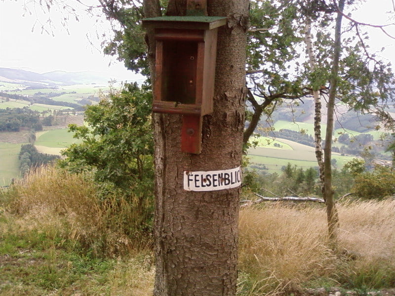
Der Weg am Felsenblick ist leider nicht mehr fahrbar, lohnt sich aber auf jeden Fall
Галерея маршрутов
Карта маршрута и высотный профиль
Minimum height 266 m
Maximum height 598 m
Комментарии
GPS-Tracks
Trackpoints-
GPX / Garmin Map Source (gpx) download
-
TCX / Garmin Training Center® (tcx) download
-
CRS / Garmin Training Center® (crs) download
-
Google Earth (kml) download
-
G7ToWin (g7t) download
-
TTQV (trk) download
-
Overlay (ovl) download
-
Fugawi (txt) download
-
Kompass (DAV) Track (tk) download
-
Формуляр маршрута (pdf) download
-
Original file of the author (gpx) download
Add to my favorites
Remove from my favorites
Edit tags
Open track
My score
Rate


Felsenblick
Danke ! Super Ausblick....
Ich dachte,ich kenne schon fast alles um Remblinghausen herum!?!?
Aber diesen tollen Aussichtspunkt habe ich erst durch deinen GPS-Track gefunden!
Danke............
Gruß Tom