Login

Забыл пароль?

Cookies have to be accepted!
Your browser's cookie functionality is disabled. Please enable this functionality.

Not a member yet?

Register now
Login

Available for registred users only

Log in to use this feature.

Забыл пароль?

Cookies have to be accepted!
Your browser's cookie functionality is disabled. Please enable this functionality.

Not a member yet?

Register now
Filter
Категории
Advanced filters
  • Длина (км)
  • Высотомер
Сохранить фильтр Reset filter

TrackRank

QRCode

Technical data

Длина512,7 km Высотомер6273 m Way down6281 m Длительность12:00 h:m Дата09.09.2008
Оценки Author Ландшафт Веселье Кондиция Техника

Статистика

675 Виды Оценки 96 Загрузки Среднее
Rate
  • Формуляр маршрута
  • Дорога
  • Загрузки

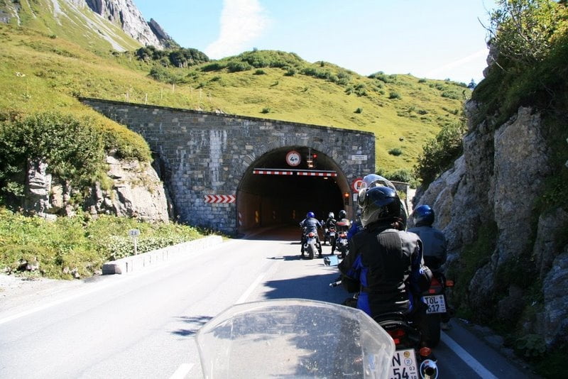
Tour durch die Lechtaler Alpen von Rosenheim aus und zwar über kleine Dörfer und Nebenstrassen bis Schongau und Füssen und dann immer am Lech entlang bis zum Flexenpass und wieder retour über den Arlberg und den Isarwinkel.


Further information at

http://picasaweb.google.de/lechnerm/Lechtaleralpen

Карта маршрута и высотный профиль

  • Open Street Map
  • Google
Minimum height 448 m Maximum height 1793 m Детальный вид

More about the tour author

Joybar
Member since 2008

Send private message

Комментарии

GPS-Tracks

Trackpoints
  • GPX / Garmin Map Source (gpx) download
  • TCX / Garmin Training Center® (tcx) download
  • CRS / Garmin Training Center® (crs) download
  • Google Earth (kml) download
  • G7ToWin (g7t) download
  • TTQV (trk) download
  • Overlay (ovl) download
  • Fugawi (txt) download
  • Kompass (DAV) Track (tk) download
  • Формуляр маршрута (pdf) download
  • Original file of the author (gpx) download

More about the tour author

Joybar
Member since 2008

Send private message
Share track
Add to my favorites
Remove from my favorites
Edit tags
My score
Rate
Маршрут: Lechtaleralpen
Вид: Мотоцикл
Длина: 512,7 km
Evaluated on:
Длительность:
Day(s)
Hour(s)
Minute(s)
Оценка: Ландшафт Веселье Кондиция Техника