Login

Забыл пароль?

Cookies have to be accepted!
Your browser's cookie functionality is disabled. Please enable this functionality.

Not a member yet?

Register now
Login

Available for registred users only

Log in to use this feature.

Забыл пароль?

Cookies have to be accepted!
Your browser's cookie functionality is disabled. Please enable this functionality.

Not a member yet?

Register now
Filter
Категории
Advanced filters
  • Длина (км)
  • Высотомер
Сохранить фильтр Reset filter

TrackRank

QRCode

Technical data

Длина48,7 km Высотомер1161 m Way down1161 m Длительность00:00 h:m Дата23.09.2008
Оценки Author Ландшафт Веселье Кондиция Техника

Статистика

1313 Виды Оценки 310 Загрузки Среднее
Rate
  • Формуляр маршрута
  • Дорога
  • Загрузки

Von Itterwiller durch die Vogesen über den Affenwald auf die Hochkönigsburg.

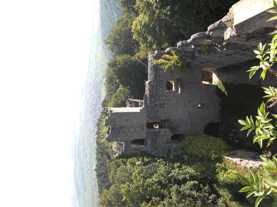
Zwischendrin ein Abstecher zur Ortenburg, welche man auch weglassen kann.

Teilweise sehr schöne Trails. Von der Hochkönigsburg auf Waldwegen und einen Trail zurück ins Tal und dann durch die Weinberge zurück nach Itterswiller

Карта маршрута и высотный профиль

  • Open Street Map
  • Google
Minimum height 193 m Maximum height 714 m Детальный вид

More about the tour author

gerdi1
Member since 2008

Send private message

Комментарии

GPS-Tracks

Trackpoints
  • GPX / Garmin Map Source (gpx) download
  • TCX / Garmin Training Center® (tcx) download
  • CRS / Garmin Training Center® (crs) download
  • Google Earth (kml) download
  • G7ToWin (g7t) download
  • TTQV (trk) download
  • Overlay (ovl) download
  • Fugawi (txt) download
  • Kompass (DAV) Track (tk) download
  • Формуляр маршрута (pdf) download
  • Original file of the author (gpx) download

More about the tour author

gerdi1
Member since 2008

Send private message
Share track
Add to my favorites
Remove from my favorites
Edit tags
My score
Rate
Маршрут: Hochkönigsburg
Вид: Горный велосипед
Длина: 48,7 km
Evaluated on:
Длительность:
Day(s)
Hour(s)
Minute(s)
Оценка: Ландшафт Веселье Кондиция Техника