Login

Забыл пароль?

Cookies have to be accepted!
Your browser's cookie functionality is disabled. Please enable this functionality.

Not a member yet?

Register now
Login

Available for registred users only

Log in to use this feature.

Забыл пароль?

Cookies have to be accepted!
Your browser's cookie functionality is disabled. Please enable this functionality.

Not a member yet?

Register now
Filter
Категории
Advanced filters
  • Длина (км)
  • Высотомер
Сохранить фильтр Reset filter

TrackRank

QRCode

Technical data

Длина7,1 km Высотомер154 m Way down153 m Длительность02:00 h:m Дата28.09.2008
Оценки Author Ландшафт Веселье Кондиция Техника

Статистика

664 Виды Оценки 29 Загрузки Среднее
Rate
  • Формуляр маршрута
  • Дорога
  • Загрузки

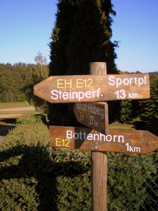
Kleine Schnuppertour in der landschaftlich schönen Wanderregion um Bottenhorn.

Bei Nässe kann es Stellenweise matschig werden.


Weitere Infos unter

www.bottenhorn.com


Галерея маршрутов

Карта маршрута и высотный профиль

  • Open Street Map
  • Google
Minimum height 471 m Maximum height 546 m Детальный вид

More about the tour author

Heinrichs
Member since 2007

Send private message

Комментарии

GPS-Tracks

Trackpoints
  • GPX / Garmin Map Source (gpx) download
  • TCX / Garmin Training Center® (tcx) download
  • CRS / Garmin Training Center® (crs) download
  • Google Earth (kml) download
  • G7ToWin (g7t) download
  • TTQV (trk) download
  • Overlay (ovl) download
  • Fugawi (txt) download
  • Kompass (DAV) Track (tk) download
  • Формуляр маршрута (pdf) download
  • Original file of the author (gpx) download

More about the tour author

Heinrichs
Member since 2007

Send private message
Share track
Add to my favorites
Remove from my favorites
Edit tags
My score
Rate
Маршрут: Schnuppertour im Wandergebiet Bottenhorn
Вид: Пешеходный туризм
Длина: 7,1 km
Evaluated on:
Длительность:
Day(s)
Hour(s)
Minute(s)
Оценка: Ландшафт Веселье Кондиция Техника