Login

Забыл пароль?

Cookies have to be accepted!
Your browser's cookie functionality is disabled. Please enable this functionality.

Not a member yet?

Register now
Login

Available for registred users only

Log in to use this feature.

Забыл пароль?

Cookies have to be accepted!
Your browser's cookie functionality is disabled. Please enable this functionality.

Not a member yet?

Register now
Filter
Категории
Advanced filters
  • Длина (км)
  • Высотомер
Сохранить фильтр Reset filter

TrackRank

QRCode

Technical data

Длина16,7 km Высотомер728 m Way down749 m Длительность04:30 h:m Дата05.10.2008
Оценки Author Ландшафт Веселье Кондиция Техника

Статистика

1974 Виды Оценки 222 Загрузки Среднее
Rate
  • Формуляр маршрута
  • Дорога
  • Загрузки
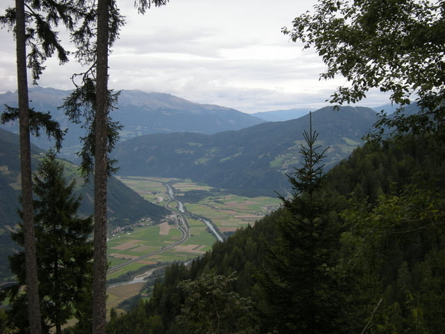
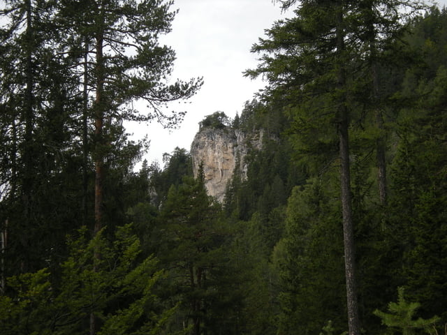
Wanderung zur gemütlichen Alm hinterm Brunn und weiter zur Gajacher Alm (2008 nicht bewirtschaftet). Wunderschöne Aussicht über den Weißensee und das Drautal. Über die Weiße Wand führt dann der Weg zurück durch die Orte am Weißensee.

Галерея маршрутов

Карта маршрута и высотный профиль

  • Open Street Map
  • Google
Minimum height 708 m Maximum height 1526 m Детальный вид

More about the tour author

edgar13
Member since 2008

Send private message

Комментарии

GPS-Tracks

Trackpoints
  • GPX / Garmin Map Source (gpx) download
  • TCX / Garmin Training Center® (tcx) download
  • CRS / Garmin Training Center® (crs) download
  • Google Earth (kml) download
  • G7ToWin (g7t) download
  • TTQV (trk) download
  • Overlay (ovl) download
  • Fugawi (txt) download
  • Kompass (DAV) Track (tk) download
  • Формуляр маршрута (pdf) download
  • Original file of the author (gpx) download

More about the tour author

edgar13
Member since 2008

Send private message
Share track
Add to my favorites
Remove from my favorites
Edit tags
My score
Rate
Маршрут: Neusach - Alm hinterm Brunn - Gajacher Alm - Weiße Wand
Вид: Пешеходный туризм
Длина: 16,7 km
Evaluated on:
Длительность:
Day(s)
Hour(s)
Minute(s)
Оценка: Ландшафт Веселье Кондиция Техника