

Die Wanderung geht von Porto Santo Stefano über den Rücken der Costa delle Fornaci, mit einem Abstecher zum Torre dell‘ Argentiera, hinauf zum Poggio Fondoni. In einem weiten Bogen umläuft man danach das Valle del Compone in Richtung zum Ausgangspunkt. Wer möchte kann den Abstecher zum Signalturm auf dem Ronconali machen (Zeitaufwand ca. 1 Std.)
Галерея маршрутов


Карта маршрута и высотный профиль
Minimum height 6 m
Maximum height 370 m
More about the tour author

|
rödivomsee |
Комментарии

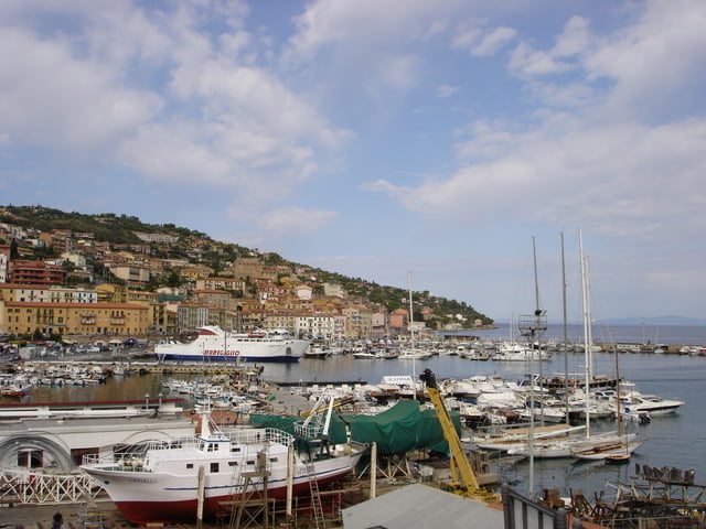
Porto Santo Stefano, Parkplatz links am Orteingang auf der Piazzale S. Andrea (Gebührenpflichtig 1,00 € / Stunde, Stand: September 2008)
GPS-Tracks
Trackpoints-
GPX / Garmin Map Source (gpx) download
-
TCX / Garmin Training Center® (tcx) download
-
CRS / Garmin Training Center® (crs) download
-
Google Earth (kml) download
-
G7ToWin (g7t) download
-
TTQV (trk) download
-
Overlay (ovl) download
-
Fugawi (txt) download
-
Kompass (DAV) Track (tk) download
-
Формуляр маршрута (pdf) download
-
Original file of the author (gpx) download
More about the tour author
|
|
rödivomsee |
Add to my favorites
Remove from my favorites
Edit tags
Open track
My score
Rate