Login

Забыл пароль?

Cookies have to be accepted!
Your browser's cookie functionality is disabled. Please enable this functionality.

Not a member yet?

Register now
Login

Available for registred users only

Log in to use this feature.

Забыл пароль?

Cookies have to be accepted!
Your browser's cookie functionality is disabled. Please enable this functionality.

Not a member yet?

Register now
Filter
Категории
Advanced filters
  • Длина (км)
  • Высотомер
Сохранить фильтр Reset filter

TrackRank

QRCode

Technical data

Длина263,6 km Высотомер2007 m Way down1998 m Длительность04:00 h:m Дата06.10.2008
Оценки Author Ландшафт Веселье Кондиция Техника

Статистика

966 Виды Оценки 95 Загрузки Среднее
Rate
  • Формуляр маршрута
  • Дорога
  • Загрузки

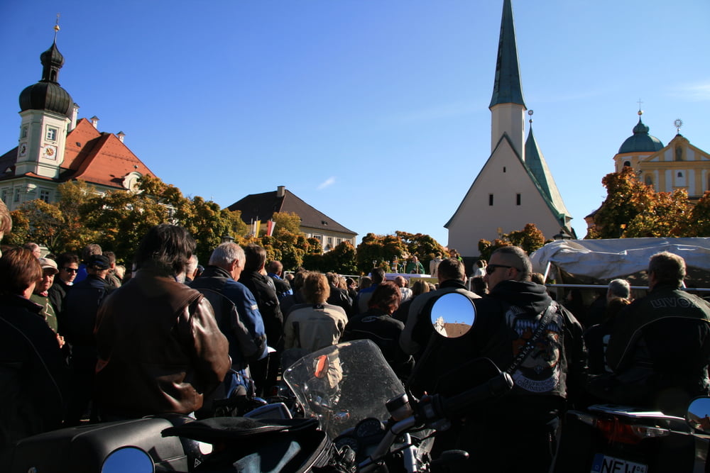
Wir sind von Rott aus nach Altötting zum Mogo und danach nach Wiesmühl an der Alz zum Essen, bevor es über Burghausen und Laufen zurück zum Samerberg ging.

Ein genialer Tag bei tollem Wetter und mit vielen netten Leuten.

Карта маршрута и высотный профиль

  • Open Street Map
  • Google
Minimum height 361 m Maximum height 795 m Детальный вид

More about the tour author

Joybar
Member since 2008

Send private message

Комментарии

GPS-Tracks

Trackpoints
  • GPX / Garmin Map Source (gpx) download
  • TCX / Garmin Training Center® (tcx) download
  • CRS / Garmin Training Center® (crs) download
  • Google Earth (kml) download
  • G7ToWin (g7t) download
  • TTQV (trk) download
  • Overlay (ovl) download
  • Fugawi (txt) download
  • Kompass (DAV) Track (tk) download
  • Формуляр маршрута (pdf) download
  • Original file of the author (gpx) download

More about the tour author

Joybar
Member since 2008

Send private message
Share track
Add to my favorites
Remove from my favorites
Edit tags
My score
Rate
Маршрут: Zum Mogo nach Altötting
Вид: Мотоцикл
Длина: 263,6 km
Evaluated on:
Длительность:
Day(s)
Hour(s)
Minute(s)
Оценка: Ландшафт Веселье Кондиция Техника