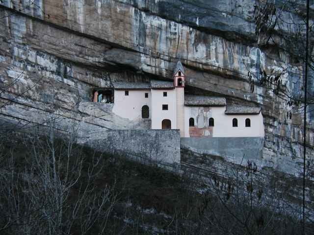
Super kleine Tour bei Rovereto.
Vom Stadion in Rovereto zum Ortszentrum.
Zuerst auf Asphaltstr bergan, nach Wechsel der Talseite weiter auf steilem Forstweg.
Nach Asphaltdownhill wechsel auf winzigen Pfad am Ufer des Stausees entlang.
Nette Tour für jedes Wetter.
Vom Stadion in Rovereto zum Ortszentrum.
Zuerst auf Asphaltstr bergan, nach Wechsel der Talseite weiter auf steilem Forstweg.
Nach Asphaltdownhill wechsel auf winzigen Pfad am Ufer des Stausees entlang.
Nette Tour für jedes Wetter.
Карта маршрута и высотный профиль
Minimum height 177 m
Maximum height 751 m
Комментарии

Autobahn Brenner - Rovereto
Startpunkt ist das Stadion in Rovereto
Startpunkt ist das Stadion in Rovereto
GPS-Tracks
Trackpoints-
GPX / Garmin Map Source (gpx) download
-
TCX / Garmin Training Center® (tcx) download
-
CRS / Garmin Training Center® (crs) download
-
Google Earth (kml) download
-
G7ToWin (g7t) download
-
TTQV (trk) download
-
Overlay (ovl) download
-
Fugawi (txt) download
-
Kompass (DAV) Track (tk) download
-
Формуляр маршрута (pdf) download
-
Original file of the author (gpx) download
Add to my favorites
Remove from my favorites
Edit tags
Open track
My score
Rate


