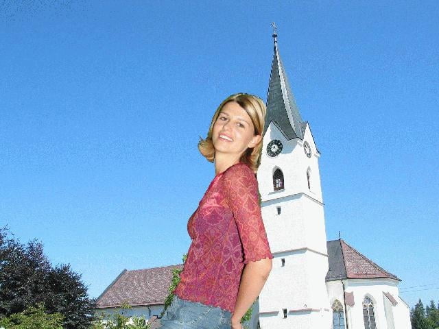
Eine Woche nach meinem ersten Versuch startete ich das Unternehmen Windhaag diesmal vom Scheitelpunkt der "Sprintrunde". Mit einem diesmal etwas höheren Asphaltanteil kommt man schnell (1,5h) nach Windhaag. Dort traf ich mich mit Arbeitskollegin Margot (in der Fotomontage an den Kirchturm gelehnt). Die Steigungen auf der Strecke halten sich in Grenzen, weil man ja schon auf der Hochebene ist. Der Rückweg ist bis auf ein paar Varianten der gleiche.
Further information at
http://www.euregio.at/post/post99/399/artikel/art19.htmГалерея маршрутов
Карта маршрута и высотный профиль
Minimum height 626 m
Maximum height 850 m
Комментарии

GPS-Tracks
Trackpoints-
GPX / Garmin Map Source (gpx) download
-
TCX / Garmin Training Center® (tcx) download
-
CRS / Garmin Training Center® (crs) download
-
Google Earth (kml) download
-
G7ToWin (g7t) download
-
TTQV (trk) download
-
Overlay (ovl) download
-
Fugawi (txt) download
-
Kompass (DAV) Track (tk) download
-
Формуляр маршрута (pdf) download
-
Original file of the author (g7t) download
Add to my favorites
Remove from my favorites
Edit tags
Open track
My score
Rate


