

Eine geplante Rundwanderung mit Gipfelsturm von der Skistation Plan de Beret zum Tuc de Pèdascauc und zurück.
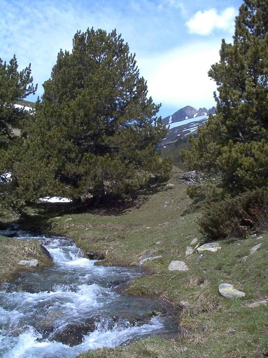
Dieser Plan fiel allerdings dem Schnee zum Opfer, so dass uns die Tour lediglich an der Cabana de Parros vorbei ins Val de Parros führte.
Галерея маршрутов


Карта маршрута и высотный профиль
Minimum height 1773 m
Maximum height 2172 m
More about the tour author
|
|
msdetroit |
Комментарии

Geparkt werden kann das Auto am RIESENPARKPLATZ in Baquera Beret. In diesem Wintersportgebiet vertreibt sich auch das spanische Königshaus seine Zeit und laut "Gala", sind auch die Beckhams dort schon gesichtet worden (falls es wirklich jemanden interessiert).
GPS-Tracks
Trackpoints-
GPX / Garmin Map Source (gpx) download
-
TCX / Garmin Training Center® (tcx) download
-
CRS / Garmin Training Center® (crs) download
-
Google Earth (kml) download
-
G7ToWin (g7t) download
-
TTQV (trk) download
-
Overlay (ovl) download
-
Fugawi (txt) download
-
Kompass (DAV) Track (tk) download
-
Формуляр маршрута (pdf) download
-
Original file of the author (gpx) download
More about the tour author
|
|
msdetroit |
Add to my favorites
Remove from my favorites
Edit tags
Open track
My score
Rate