


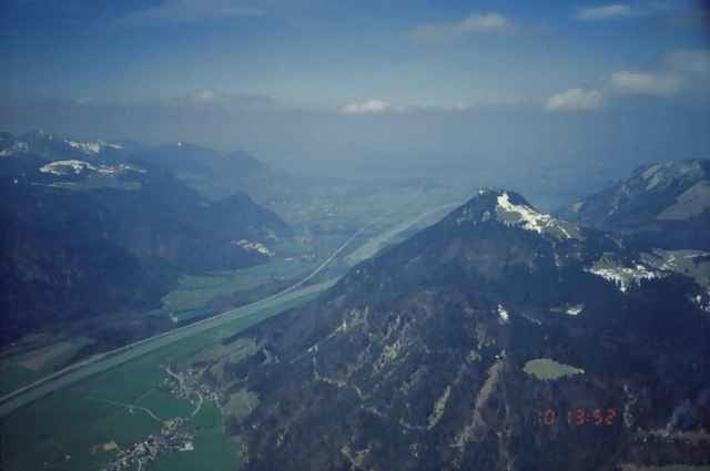
Von Windshausen auf steilem, schattigem Forstweg hinauf zur Schutzhütte Kranzhorn. Von dort noch kurz zu Fuss auf den Gipfel.
Runter gehts auf rasanter Abfahrt (teilweise Asphalt) bis nach Erl.
Von Erl über Weidau und dann entlang des Innkanals zurück nach Windshausen.
Runter gehts auf rasanter Abfahrt (teilweise Asphalt) bis nach Erl.
Von Erl über Weidau und dann entlang des Innkanals zurück nach Windshausen.
Галерея маршрутов
Карта маршрута и высотный профиль
Minimum height 477 m
Maximum height 1359 m
More about the tour author

|
Комментарии

Autobahn München - Kufstein, Ausfahrt Brannenburg. Über Nussdorf nach Windshausen.
GPS-Tracks
Trackpoints-
GPX / Garmin Map Source (gpx) download
-
TCX / Garmin Training Center® (tcx) download
-
CRS / Garmin Training Center® (crs) download
-
Google Earth (kml) download
-
G7ToWin (g7t) download
-
TTQV (trk) download
-
Overlay (ovl) download
-
Fugawi (txt) download
-
Kompass (DAV) Track (tk) download
-
Формуляр маршрута (pdf) download
-
Original file of the author (gpx) download
More about the tour author
|
|
Add to my favorites
Remove from my favorites
Edit tags
Open track
My score
Rate