
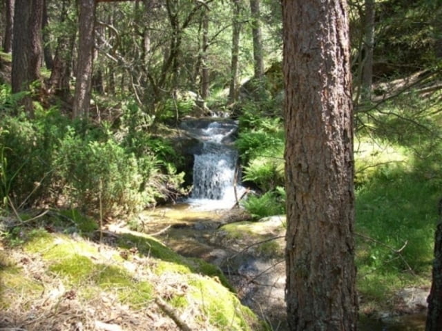

Ruta espectacular que recorre parte de los mejores senderos de la Sierra Madrileña. La ruta es dura pero tiene su recompensa, incluido el pateo de subir hasta la cascada, ya no solo por disfrutar de la bajada sino por el maravilloso lugar al que se llega.
Ruta para realizar si solo se tiene un par de días para montar por Madrid, ya que enamora. Se puede hacer durante todo el año pero en invierno, la nieve y las pocas horas de luz la hacen muy complicada de seguir, lo ideal primavera-verano-otoño, pero su punto algido esta en el deshielo al camienzo de la primavera.
Further information at
http://alakan.wordpress.com/2008/06/28/por-la-ruta-del-agua-becerril-de-la-sierra-la-granja-y-vuelta-por-el-eresma/Галерея маршрутов


Карта маршрута и высотный профиль
Minimum height 1085 m
Maximum height 1886 m
More about the tour author
|
|
alakan |
Комментарии

GPS-Tracks
Trackpoints-
GPX / Garmin Map Source (gpx) download
-
TCX / Garmin Training Center® (tcx) download
-
CRS / Garmin Training Center® (crs) download
-
Google Earth (kml) download
-
G7ToWin (g7t) download
-
TTQV (trk) download
-
Overlay (ovl) download
-
Fugawi (txt) download
-
Kompass (DAV) Track (tk) download
-
Формуляр маршрута (pdf) download
-
Original file of the author (gpx) download
More about the tour author
|
|
alakan |
Add to my favorites
Remove from my favorites
Edit tags
Open track
My score
Rate