


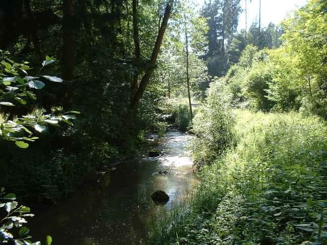
Von Mainhardt geht es durch das idyllische Rottal.
Über diverse Gehöfte macht man eine Südschleife, bis es zum höchsten Punkt der Gegend geht, der Hohen Brach. Von dort aus wieder zurück ins Rottal und nach Mainhardt.
Rundkurs.
Über diverse Gehöfte macht man eine Südschleife, bis es zum höchsten Punkt der Gegend geht, der Hohen Brach. Von dort aus wieder zurück ins Rottal und nach Mainhardt.
Rundkurs.
Галерея маршрутов
Карта маршрута и высотный профиль
Minimum height 372 m
Maximum height 567 m
More about the tour author

|
mischuer |
Комментарии

Nach Mainhardt über B39.
Startpunkt am Südlichen Ortsende.
Startpunkt am Südlichen Ortsende.
GPS-Tracks
Trackpoints-
GPX / Garmin Map Source (gpx) download
-
TCX / Garmin Training Center® (tcx) download
-
CRS / Garmin Training Center® (crs) download
-
Google Earth (kml) download
-
G7ToWin (g7t) download
-
TTQV (trk) download
-
Overlay (ovl) download
-
Fugawi (txt) download
-
Kompass (DAV) Track (tk) download
-
Формуляр маршрута (pdf) download
-
Original file of the author (gpx) download
More about the tour author
|
|
mischuer |
Add to my favorites
Remove from my favorites
Edit tags
Open track
My score
Rate