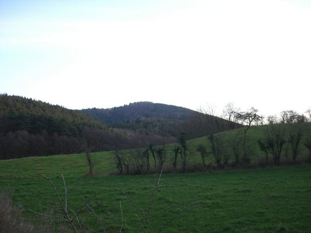
abwechslungsreiche tour durch weinhänge und entlang des eckbaches...viele ehemalige mühlen zu sehen. längere pause am rahnenhof, welcher auf mtb'ler eingerichtet ist. super tour, die ich noch mehrmals fahren werde..
Карта маршрута и высотный профиль
Minimum height 103 m
Maximum height 405 m
Комментарии

GPS-Tracks
Trackpoints-
GPX / Garmin Map Source (gpx) download
-
TCX / Garmin Training Center® (tcx) download
-
CRS / Garmin Training Center® (crs) download
-
Google Earth (kml) download
-
G7ToWin (g7t) download
-
TTQV (trk) download
-
Overlay (ovl) download
-
Fugawi (txt) download
-
Kompass (DAV) Track (tk) download
-
Формуляр маршрута (pdf) download
-
Original file of the author (gpx) download
Add to my favorites
Remove from my favorites
Edit tags
Open track
My score
Rate

