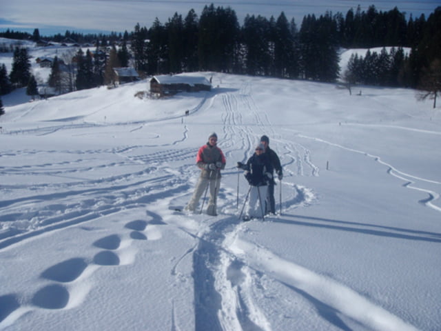
Die Tour beginnt am Ski-Parkplatz in Schwarzenberg und führt auf den Gipfel des Gaisskopf (Gipfelkreuz). Von dort hat man einen sehr schönen Ausblick auf das umliegende Gebiet. Es geht durch einen schönen dicht bewachsenen Wald weiter in einem Rundweg um den Gaisskopf herum.
Die Tour eignet sich hervorragend für Schneeschuheinsteiger und ist locker in 1,5 Stunden machbar.
Галерея маршрутов
Карта маршрута и высотный профиль
Minimum height 1079 m
Maximum height 1196 m
Комментарии

GPS-Tracks
Trackpoints-
GPX / Garmin Map Source (gpx) download
-
TCX / Garmin Training Center® (tcx) download
-
CRS / Garmin Training Center® (crs) download
-
Google Earth (kml) download
-
G7ToWin (g7t) download
-
TTQV (trk) download
-
Overlay (ovl) download
-
Fugawi (txt) download
-
Kompass (DAV) Track (tk) download
-
Формуляр маршрута (pdf) download
-
Original file of the author (gpx) download
Add to my favorites
Remove from my favorites
Edit tags
Open track
My score
Rate


