
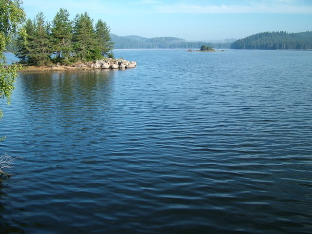

This tour is stage three of the trans Rhodopean Trail. It starts from the shores of Shiroka Polyana Dam and leads to the village of Zmeica in the Southern Rhodopes. The trail passes by the Information and Protection Centre of the Otter located in the valley of Karadja Dere Rivere. Near the end of the trail, on the main road Dospat - Devin there is and ancient bridge which is a good example of the local medieval architecture.
Technical difficulty level is low to medium at some sections due to the stony road.
Further information at
http://www.rudopia.orgГалерея маршрутов

Карта маршрута и высотный профиль
Minimum height 1234 m
Maximum height 1551 m
More about the tour author
|
|
Pirateria |
Комментарии

GPS-Tracks
Trackpoints-
GPX / Garmin Map Source (gpx) download
-
TCX / Garmin Training Center® (tcx) download
-
CRS / Garmin Training Center® (crs) download
-
Google Earth (kml) download
-
G7ToWin (g7t) download
-
TTQV (trk) download
-
Overlay (ovl) download
-
Fugawi (txt) download
-
Kompass (DAV) Track (tk) download
-
Формуляр маршрута (pdf) download
-
Original file of the author (gpx) download
More about the tour author
|
|
Pirateria |
Add to my favorites
Remove from my favorites
Edit tags
Open track
My score
Rate